Search Results for: “Yorkshire Census”
Surname Atlas Version 1.20
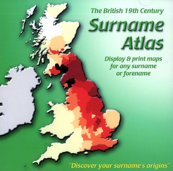
The 19th Century Surname Atlas for Great Britain displays and prints maps showing the concentrations for any surname or forename. The CD includes maps for all of the 400,000+ surnames that appear in the 1881 census and all of the forenames too. Print the maps at any scale and copy to the clipboard for pasting into printed documents or creating web graphics. Not suitable for Macintosh computers. Minimum requirements *Windows 10/8/7/Vista/XP/98 *CD-Rom/DVD-Rom drive (required for inst More Info
Product Code: SW1713
Can't find what you're looking for? Try using our filter system to narrow down your search.
Available through our sister site GenFair
1841 Census of Glamorgan - Complete Transcript on CD
Complete transcript. Fully-searchable. PC and Mac version - Please note Merthyr Tydfil is divided into Upper and Lower districts for census and registration purposes and Upper Merthyr Tydfil is 'officially' missing for 1841. The Public Record Office cannot say whether it is lost or destroyed. The missing section includes all of the parish of Vaynor, most of Penydarren, the top section of Cyfarthfa...More Info
1891 Census of Monmouthshire - Index of Places
This is available as a set of two fiche containing a list of all the streets and buildings (such as farms, public houses, etc) named in the 1891 census returns for Monmouthshire. One fiche lists the names in alphabetical order within parish, and the other lists them in alphabetical order within the county as a whole.
Wright families - North Meols 1841 Census Returns
With additional Information from the 1851 Census Returns
Bromley: 1891 Census: Bromley Registration District
Bromley Reg District: 1891 Name index & transcript of census as enumerated (69,000 names) Piece Numbers RG12/625-34 CD003
Bexley: 1891 Census: Bexley Sub District of Dartford Registration District
Bexley sub-district only of Dartford Registration District - census transcript & alphabetical index (30,000 names) Piece Numbers RG12/635-38 CD016