Search Results for: “Yorkshire Census”
Surname Atlas Version 1.20
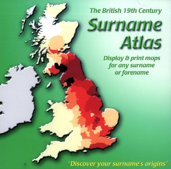
The 19th Century Surname Atlas for Great Britain displays and prints maps showing the concentrations for any surname or forename. The CD includes maps for all of the 400,000+ surnames that appear in the 1881 census and all of the forenames too. Print the maps at any scale and copy to the clipboard for pasting into printed documents or creating web graphics. Not suitable for Macintosh computers. Minimum requirements *Windows 10/8/7/Vista/XP/98 *CD-Rom/DVD-Rom drive (required for inst More Info
Product Code: SW1713
Can't find what you're looking for? Try using our filter system to narrow down your search.
Available through our sister site GenFair
1851 Census: Warton & Lancaster Registration Districts
Full transcription and index of the 1851 census (HO 107/2273 folios 183-241) including the townships of Over Kellet, Nether Kellet, Bolton-le-Sands; (HO 107/2272 folios 1-49) including the townships of Slyne with Hest, Halton, Aughton - Lancashire
1851 Census: Lancaster (Outer Townships)
Full transcription and index of the 1851 census (HO 107/2272 folios 50-107 & 526-588) including the townships of Bulk, Skerton (West), Skerton (East), Aldcliffe, Ashton with Stodday, Scotforth (East), Scotforth (West), County Lunatic Asylum - Lancashire
1851 Census: Lancaster (North East)
Full transcription and index of the 1851 census (HO 107/2272 folios 331-364 & 461-525) that covers the north east part of the town of Lancaster (ED 5i, 5m, 5n) - Lancashire
1851 Census: Lancaster (Central)
Full transcription and index of the 1851 census (HO 107/2272 folios 108-164 & 278-330) that covers the central part of the town of Lancaster (ED 5a, 5b, 5g, 5h) - Lancashire
1851 Census: Lancaster (West)
Full transcription and index of the 1851 census (HO 107/2272 folios 165-256) that covers the west part of the town of Lancaster (ED 5c, 5d, 5e). It also includes Lancaster Goal - Lancashire