Search Results for: “Yorkshire Census”
Surname Atlas Version 1.20
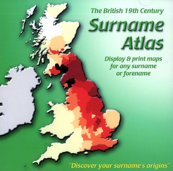
The 19th Century Surname Atlas for Great Britain displays and prints maps showing the concentrations for any surname or forename. The CD includes maps for all of the 400,000+ surnames that appear in the 1881 census and all of the forenames too. Print the maps at any scale and copy to the clipboard for pasting into printed documents or creating web graphics. Not suitable for Macintosh computers. Minimum requirements *Windows 10/8/7/Vista/XP/98 *CD-Rom/DVD-Rom drive (required for inst More Info
Product Code: SW1713
Can't find what you're looking for? Try using our filter system to narrow down your search.
Available through our sister site GenFair
1851 Census: Kirkham Registration District
Full transcription and index of the 1851 census (HO 107/2269 folios 70-154) including the townships of Weeton with Preese, Greenhalgh with Thistleton & Medlar with Wesham, Treales, Roseacre & Little Eccleston with Larbreck - Lancashire
1851 Census: Poulton le Fylde Registration District (East)
Full transcription and index of the 1851 census (HO 107/2269 folios 499-516, 541-607 & 732-743) including the townships of Great Marton, Hardhorn with Newton and Staining, Great & Little Carleton, Poulton le Fylde, Great & Little Singleston - Lancashire
1851 Census: Poulton le Fylde Registration District (West)
Full transcription and index of the 1851 census (HO 107/2269 folios 400-498) including the townships of Bispham with Norbreck, Layton with Warbreck, Blackpool (North), Blackpool (South), South Shore - Lancashire
1841-1901 Census Records for Hutton, Longton, Little Hoole, Much Hoole & Walmer Bridge
The CD contains a full transcription for each census
The Streets of Westminster in the Census of 1851
A 28-page A5 illustrated LWMFHS booklet contains a list of all the street names in Westminster which appear in the 1851 census returns, which it is hoped will be useful information for the genealogical researcher. This area was in the county of Middlesex but is now in the City of Westminster London Borough.