Search Results for: “Yorkshire Census”
Surname Atlas Version 1.20
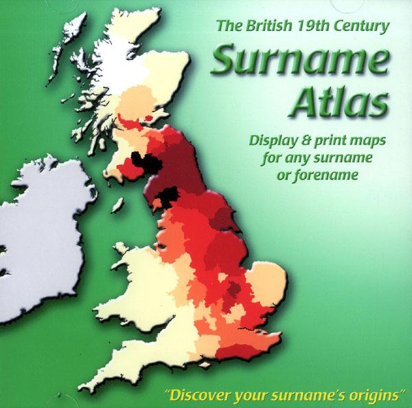
The 19th Century Surname Atlas for Great Britain displays and prints maps showing the concentrations for any surname or forename. The CD includes maps for all of the 400,000+ surnames that appear in the 1881 census and all of the forenames too. Print the maps at any scale and copy to the clipboard for pasting into printed documents or creating web graphics. Not suitable for Macintosh computers. Minimum requirements *Windows 10/8/7/Vista/XP/98 *CD-Rom/DVD-Rom drive (required for inst More Info
Product Code: SW1713
Can't find what you're looking for? Try using our filter system to narrow down your search.
Available through our sister site GenFair
Kent FHS CD 14 Index of Kent Strays from the 1851 census

The CD contains about 115,000 entries. Fully indexed with links to 'as enumerated' records. Coverage Main areas: Middlesex and City of London Surrey Sussex Hampshire Berkshire Hertfordshire Buckinghamshire Oxfordshire Northamptonshire Huntingdonshire Bedfordshire Cambridgeshire Essex Suffolk Norfolk Hereford Westmorland ...More Info
Search from Halifax 1851 Census index - electronic results
Please enter the Surname and First Name in the box below: Detail returned via E-MAIL is surname, first name, age, Township, ED, Folio No. & Schedule No. of every person with the requested surname or variation of that name, in MSExcel format, by default. Specify if required in MSWordpad format. - Calderdale
Thirsk 1811-1821 Census
Head of Household, Occupation or Trade or Status, No of Male Children, No of Female Children, No Inhabiting Property
Nunnington - Population Study / 1821 Census


This document lists the names of the heads of household and the number of males / females in each household along with an indication of whether the head was a Farmer / Trader / Other. Nunnington - 68 households Stonegrave - 12 households Helmsley - 1 household
1851 Census Index of the EYFHS area
This CD Rom provides information on Name, Age, Birthplace, County, Piece Number and Folio Number for each entry only. The data is supplied in Microsoft® Access, Microsoft® Excel, and Microsoft® Works formats as well as text files (for import into a database or spreadsheet program of your choice).