Search Results for: “Yorkshire Census”
Surname Atlas Version 1.20
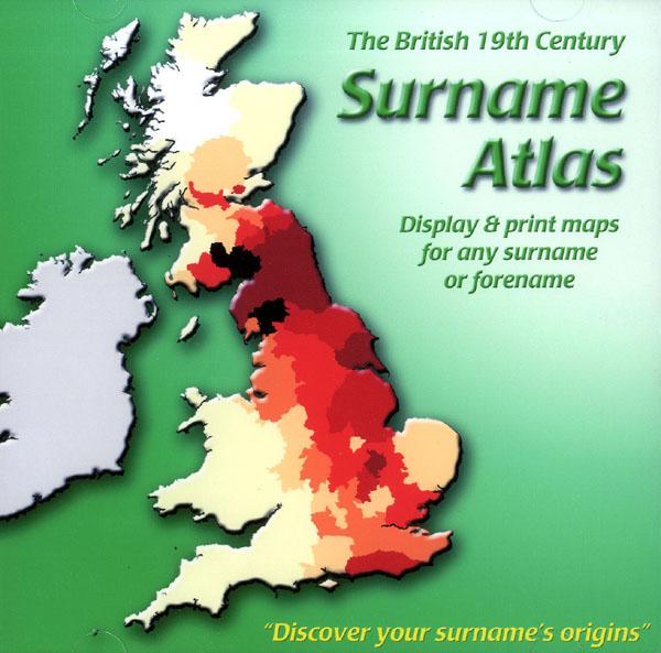
The 19th Century Surname Atlas for Great Britain displays and prints maps showing the concentrations for any surname or forename. The CD includes maps for all of the 400,000+ surnames that appear in the 1881 census and all of the forenames too. Print the maps at any scale and copy to the clipboard for pasting into printed documents or creating web graphics. Not suitable for Macintosh computers. Minimum requirements *Windows 10/8/7/Vista/XP/98 *CD-Rom/DVD-Rom drive (required for inst More Info
Product Code: SW1713
Can't find what you're looking for? Try using our filter system to narrow down your search.
Available through our sister site GenFair
Monumental inscriptions of East Ilsley [CD]
by Eric Saxton - monumental inscriptions from both inside and outside St. Mary's church and the Baptist Chapel in East Ilsley. Additional biographical information from census data, parish reisters and other sources is provided for many of the entries.
Peasenhall in the 1840s
A combination of information from tithe maps, the census and parish registers - including 27 maps, name index and place name index. Product code SIG-TM10 has all of the maps in this volume in TIF format.
Yoxford in the 1840s
A combination of information from tithe maps, the census and parish registers - including 18 maps, name index and place name index. Product code SIG-TM6 has all of the maps in this volume in TIF format.
Westleton in the 1840s
A combination of information from tithe maps, the census and parish registers - including 36 maps, name index and place name index. Product code SIG-TM8 has all of the maps in this volume in TIF format.
Marlesford in the 1840s
A combination of information from tithe maps, the census and parish registers - including 22 maps, name index and place name index. Product code SIG-TM11 has all of the maps in this volume in TIF format.