Search Results for: “Yorkshire Census”
Surname Atlas Version 1.20
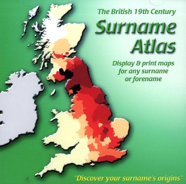
The 19th Century Surname Atlas for Great Britain displays and prints maps showing the concentrations for any surname or forename. The CD includes maps for all of the 400,000+ surnames that appear in the 1881 census and all of the forenames too. Print the maps at any scale and copy to the clipboard for pasting into printed documents or creating web graphics. Not suitable for Macintosh computers. Minimum requirements *Windows 10/8/7/Vista/XP/98 *CD-Rom/DVD-Rom drive (required for inst More Info
Product Code: SW1713
Can't find what you're looking for? Try using our filter system to narrow down your search.
Available through our sister site GenFair
Elsecar, Hoyland, Jump and Stubbin - 1851 (HO 107/ 2332)
**All that part of the Township of Nether Hoyland, including the Village of Nether Hoyland, Alderthwait, Canal Basin, Cob Carr, Elsecar, Fearnley, Harley, Hawshaw Lane, High Royd Hill, Hoyland Common, Hoyland Common Side, Hoyland Lane End, Hoyland Low, Lower Jump, Milton Iron Works, Platts Common, Skiers Hall, Skiers Spring, Stead, Stubbin and Upper Blacker.** **Column headings:** Surname;...More Info
Royston - 1851 (HO 107/ 2332)
Royston - 1861 (RG 9/ 3442)
**The whole of the Township of Roystone in the Parish of Roystone in the West Riding in the County of York. (1851)** **The whole of the Township of Roystone, including Ship Inn, Anchor Inn, Grammar School, Ring of Bells, Packhorse Inn, National School, Ladies Boarding School, Hammer and Anvil. (1861)** Owing to the illegibility of the 1851 enumerators' books covering the township of Roy...More Info
Barugh, Gawber and Higham - 1861 (RG9/ 3448)
**All that part of the Township of Barugh, including the village of Gawber, Barugh Bridges, Barugh Green, Barugh Mill, Mr. Brady’s Farm, The Bromley’s Colliery, Clay Cliff, Clay Cliff House, Day House, Day House Lane, Engine Yard, Gawber Hall, Hermit House, Hermit Cottage, Hermit Lane, Higham, Higham Common, Low Hill, Mill, Old Gawber Colliery, Red Brook House, Toll House.** Owing to the...More Info
Darton, Mapplewell and Staincross - 1861 (RG 9/ 3442)
**All that part of the Township of Darton, including Blacker, Bloomhouse Green, Broadroyd Head, Carr Green, Club Gardens, Mapplewell, Staincross and Swallow Hill.** Owing to the illegibility of the 1851 enumerators' books covering the townships of Darton, Mapplewell and Staincross, it was decided to index the 1861 returns instead. **Column headings:** Surname; Forename; Relatio...More Info
Silkstone Parish - Hearth Tax Return - 1672

A hearth tax was a property tax, or wealth tax, levied on each home. It was calculated based on the number of hearths or fireplaces within a home. Payments of a Hearth Tax were required in England from 1662-1689 and it was the occupiers who were liable for this tax and not the owners. A tax of 2 shillings (10p) had to be paid for each hearth in two instalments - Lady Day (25th March) and...More Info