Search Results for: “Yorkshire Census”
Surname Atlas Version 1.20
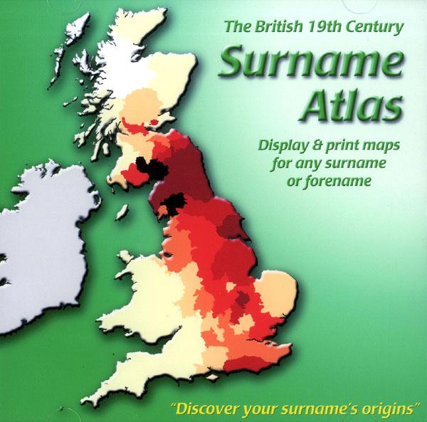
The 19th Century Surname Atlas for Great Britain displays and prints maps showing the concentrations for any surname or forename. The CD includes maps for all of the 400,000+ surnames that appear in the 1881 census and all of the forenames too. Print the maps at any scale and copy to the clipboard for pasting into printed documents or creating web graphics. Not suitable for Macintosh computers. Minimum requirements *Windows 10/8/7/Vista/XP/98 *CD-Rom/DVD-Rom drive (required for inst More Info
Product Code: SW1713
Can't find what you're looking for? Try using our filter system to narrow down your search.
Available through our sister site GenFair
Barnsley Place Names


This alphabetical index of 1400 place names in and around Barnsley compiled by John Higgs. The names have been taken from 19th century Ordnance Survey maps. In addition to township and farm place names, a number colliery names, halls, houses and cottages have been included. Each listed name is accompanied by a brief indication of the locality, the distance in miles from Barnsley Town...More Info
The Reminiscences of Henry Spooner
A nostalgic look back at the Barnsley of the 1910-1940 period, most of which has been swept away by the re-developments of the 1970s. In his youth, the author was apprenticed to Billington's Chemist in Eldon Street, and he is able to paint a vivid word picture of the life of an era now long lost.
Barnsley Circuit: Wesleyan Methodist - Baptisms 1839-1872. Vol. 01


The following dates are covered: 3 February 1839 to 18 April 1872. Page layout: Name, Date baptised, Date born, Age, Parents and Abode. Sorted by Surname and then by Forename. A5 stapled booklet. ISBN: 978-1-899224-38-8
Barnsley Circuit: Wesleyan Methodist - Baptisms 1872-1888. Vol. 02

The following dates are covered: 30 May 1872 to 26 June 1888. Page layout: Name, Date baptised, Date born, Age, Parents and Abode. Sorted by Surname and then by Forename. A5 stapled booklet. ISBN: 978-1-899224-39-5
Barnsley Circuit: Wesleyan Methodist - Baptisms 1888-1910. Vol. 03

The following dates are covered: 3 July 1888 to 23 October 1910. Page layout: Name, Date baptised, Date born, Age, Parents and Abode. Sorted by Surname and then by Forename. A5 stapled booklet. ISBN: 978-1-899224-40-1