Search Results for: “london census transcript”
Please note that not all our products are available as downloads. Click here to see both download and physical products.
Buckinghamshire, The Parsons and Parish Registers of Medmenham

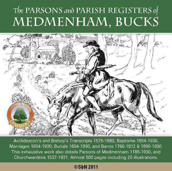
The Rev. Arthur H. Plaisted's exhaustive 1932 work not only includes 9 Volumes of Parish Registers, but has additional chapters detailing the Parsons of Medmenham from 1185 to 1930, and Officers of the Church including selected Parish Clerks, and a list of Churchwardens from 1537 to 1931. The Registers themselves are prefaced by 30 pages of supporting information covering relevant acts of parliament, the first census, the establishment of civil registration, funeral customs and more. Register More Info
Can't find what you're looking for? Try using our filter system to narrow down your search.
Available through our sister site GenFair
CD43 General Indexes to Old Ordnance Survey Maps of London
CD 43 General Indexes to Old Ordnance Survey Maps of London (Godfrey Edition). Research in Victorian London very soon gives rise to the question "where is such-and-such a street?". It may be on a modern map, but quite often is not. The re-publication of early Ordnance Survey 1:2500 maps in the reduced scale Godfrey Edition gives the researcher a chance but, even if the street is on the sheet one h...More Info
The Streets of the City of London in the Census of 1851
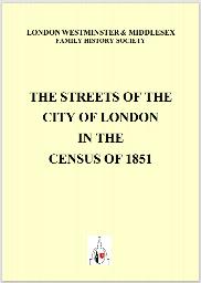
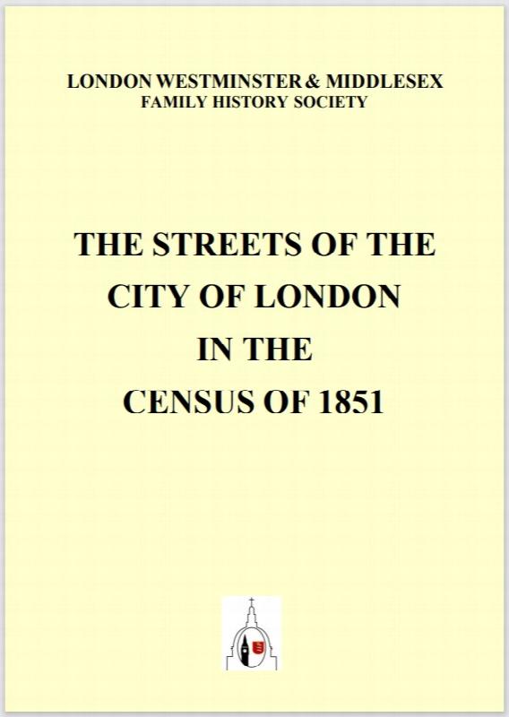
A 48-page A5 illustrated LWMFHS booklet contains a list of all the street names in the City of London which appear in the 1851 census returns, which it is hoped will be useful information for the genealogical researcher.
1841 Census of Glamorgan - Complete Transcript on CD
Complete transcript. Fully-searchable. PC and Mac version - Please note Merthyr Tydfil is divided into Upper and Lower districts for census and registration purposes and Upper Merthyr Tydfil is 'officially' missing for 1841. The Public Record Office cannot say whether it is lost or destroyed. The missing section includes all of the parish of Vaynor, most of Penydarren, the top section of Cyfarthfa...More Info
Atlas of London circa 1908
By J & A Catlyn, published by Cyrene Publications (2003). 20 coloured maps of Central London, with searchable Index to over 7000 streets computer-linked to the maps. An Index to 1000 places of interest in London and 16 maps of the Environs of London. Included is a small eight-page booklet advising on how to make the best use of this CD.
CD16 Early 20th Century London: Maps, Street Names and Schools
Compiled and indexed by Chris Willis, edited by Sue Turner, Nov 2009. This CD contains the six Board School Maps of London, produced in 1906/7 by the London Schools Authorities. They were based on the 6" Ordnance Survey stock of the time and over printed with boundaries of the areas used in controlling the schools and also with the actual schools. To provide an index into the maps, a Street index ...More Info