Search Results for: “poll book”
London 1768 Poll Book
This gives the livery company (Trade) full name and abode for all those that voted in the election.... More Info
London, Westminster Poll Book 1774

This gives names, addresses, occupations and how people voted in the election of 1774... More Info
London, Westminster Poll Book 1818
This gives names, addresses, occupations and how people voted in the election of 1818... More Info
London, Westminster Poll Book 1841 Special Offer
This gives names, addresses, occupations and how people voted in the election of 1841.... More Info
Can't find what you're looking for? Try using our filter system to narrow down your search.
Available through our sister site GenFair
Memories of Lake Road and its Locality
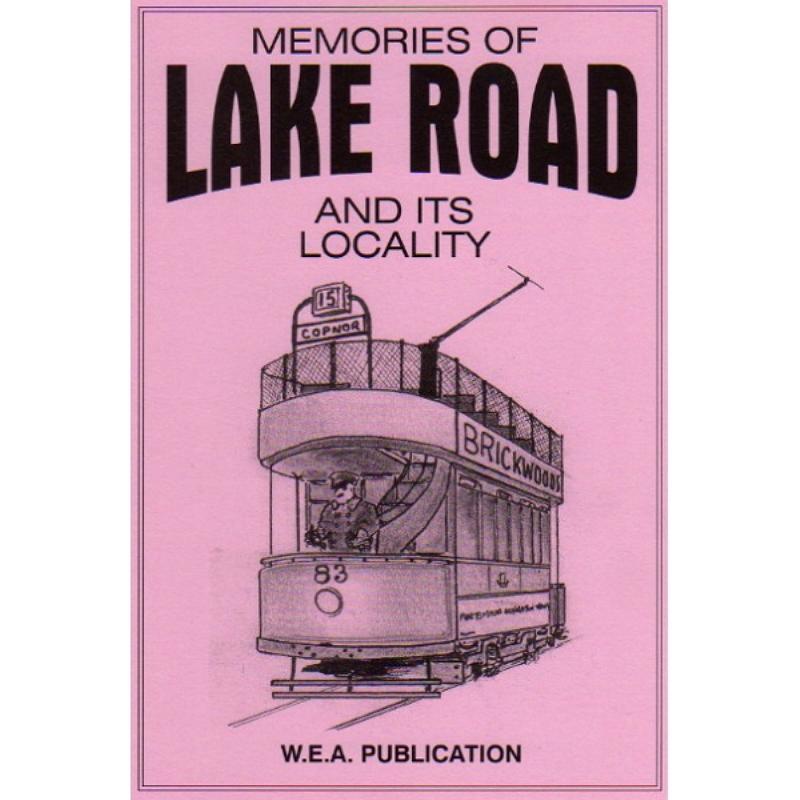
This book covers the area enclosed by Lake Road, Fratton Road, Arundel Street and Commercial Road. 62 pages with 8 illustrations. 62 pages with 8 illustrations. First published in 1980; revised and expanded in 1999.
Going to Work Volume One
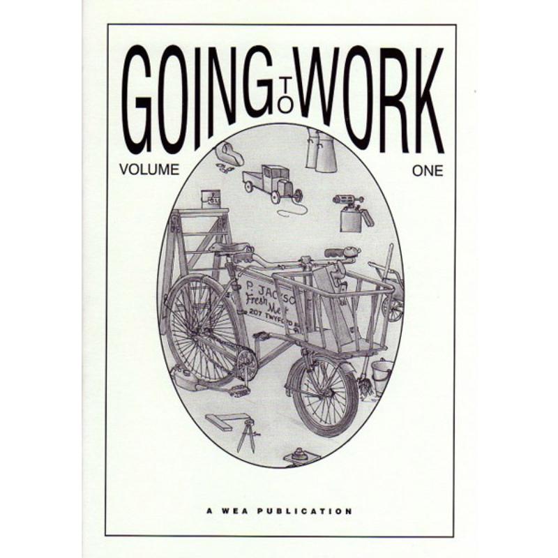
Published in 2001, this book contains memories of starting work in the Portsmouth-Portsea areas in a variety of trades and occupations. This is an illustrated version of the 1981 booklet.
Going to Work Volume Two
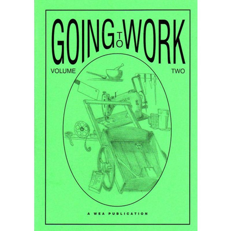
This book continues with more memories of starting work in the Portsmouth-Portsea areas in a variety of trades and occupations. Published in 2002.
Memories of Arundel Street
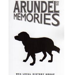
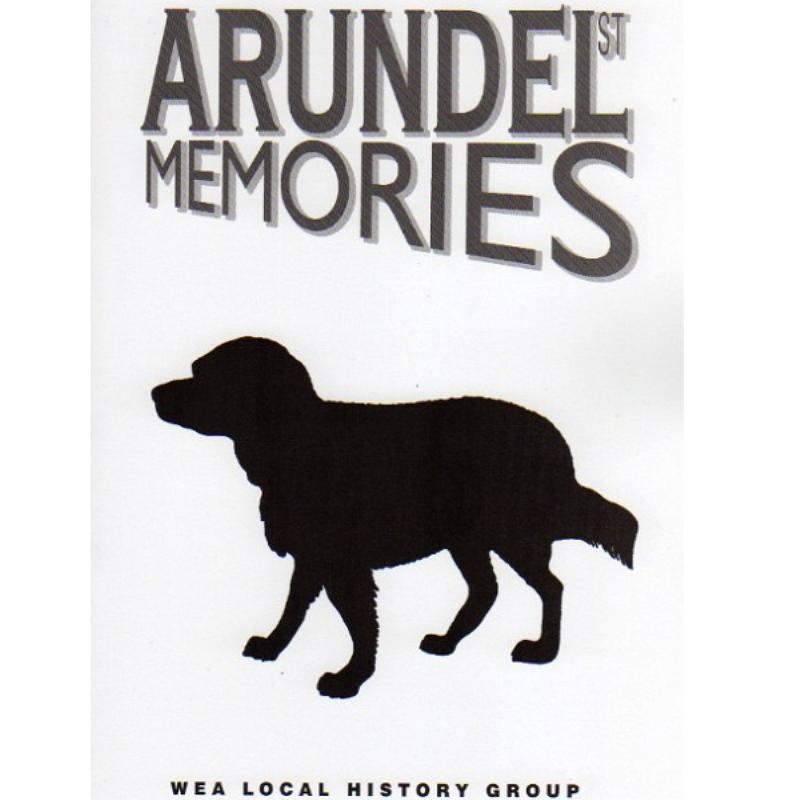
Revised in 2002, this book has 9 new illustrations and the addition of streets lying between Arundel Street and the railway.
Memories of Mile End and Rudmore
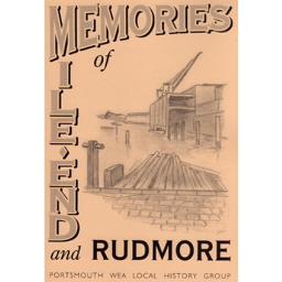
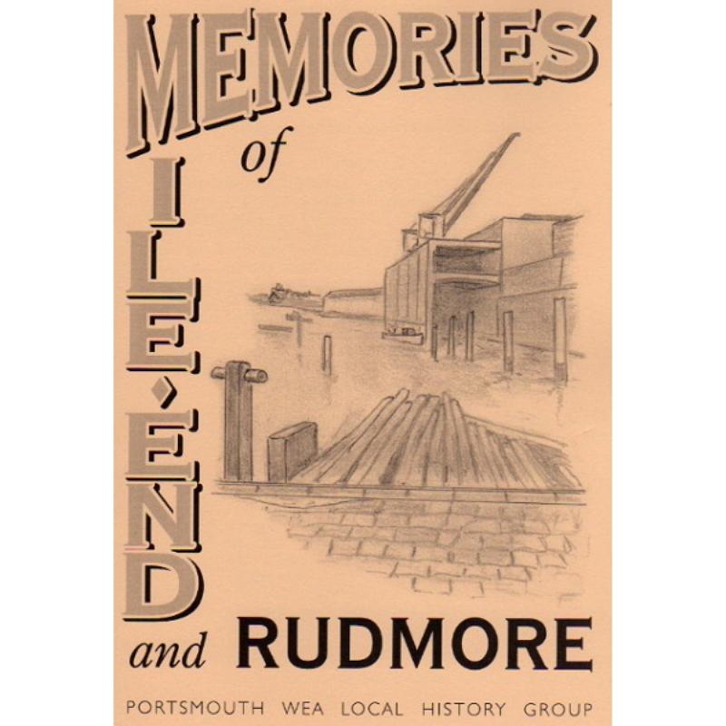
This book covers three adjacent areas on the west of Portsea Island: Flathouse along the western shore; Mile End surrounding part of Commercial Road; and Rudmore further north.