Search Results for: “Yorkshire Census”
Census Year Dates - Ruler Gift

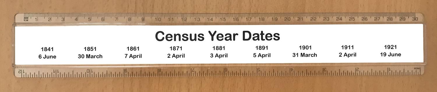
This 30cm acrylic ruler has the dates of each census night from 1841 - 1911. Making an ideal gift and a perfect accessory for the genealogist in your life, the novelty design is printed on 160gsm paper before being encased in our high quality acrylic ruler.... More Info
Product Code: GF04R
All Genealogists come to their Census - Ruler Gift

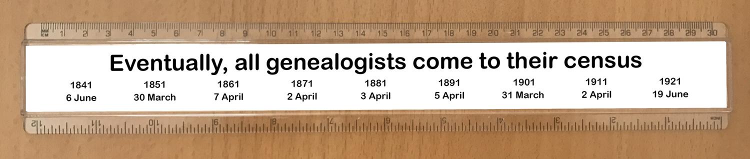
This 30cm acrylic ruler has the dates of each census night from 1841 - 1921. Making an ideal gift and a perfect accessory for the genealogist in your life, the novelty design is printed on 160gsm paper before being encased in our high quality acrylic ruler.... More Info
Product Code: GF01R
Can't find what you're looking for? Try using our filter system to narrow down your search.
Available through our sister site GenFair
Yorkshire West Riding
Arthur Mee's classic pre-WW2 guide to the region's settlements including churches and castles and other historic places – with 391 places and 166 pictures.
Yorkshire Wolds (North) 1905
Dated 1905. Sheet 64. 1in to mile This One Inch to the Mile map covers the area from Fridaythorpe and Huggate Wold eastward to Burton Agnes; and from Langtoft and Tog Dale southward to Cranswick and North Dalton. Great Driffield, near the centre of the map, is the only town shown, though there are many small villages. On the reverse, a detailed map of Wetwang is included, together with a directory...More Info
Yorkshire Wolds (South) 1905
Dated 1905. Sheet 72. 1in to mile This One Inch to the Mile map covers the area around and to the west of Beverley, stretching from Market Weighton eastward to Brandesburton, and from Kilnwick southward to Cottingham. On the reverse is a detailed map of the small town of Market Weighton, complete with directory. It is not possible to list the many hamlets, farmsteads and other topographical featur...More Info
History's Midwives: including a list of Yorkshire midwives
Federation of Family History Societies Publications
1837-1838 WHITE'S HISTORY, GAZETTEER & DIRECTORY OF THE WEST RIDING OF YORKSHIRE WITH THE CITY OF YORK AND THE PORT OF HULL, VOL. 1, 1837 & VOL. 2, 1838
The First Volume contains Histories and Directories of all the Boroughs and Market Towns, except a few of the smaller ones, which for the purpose of more equally dividing of the matter, will be found in the Second Volume, together with a separate History and Directory of every Parish, Chapelry, Township, Village, Hamlet and Manor.
Filter
Category
Rings
Compatible Sleeves
Compatible Binders
County
-
Cheshire (0)
Cornwall (0)
Cumberland (0)
Denbighshire (0)
Derbyshire (0)
Devon (0)
Dorset (0)
Durham (0)
England (0)
Essex (0)
Flintshire (0)
Glamorganshire (0)
Gloucestershire (0)
Hampshire (0)
Herefordshire (0)
Hertfordshire (0)
Huntingdonshire (0)
Ireland (0)
Isle of Man (0)
Kent (0)
Lancashire (0)
Leicestershire (0)
Lincolnshire (0)
London (0)
Merionethshire (0)
Middlesex (0)
Monmouthshire (0)
Montgomeryshire (0)
Norfolk (0)
Northamptonshire (0)
Northumberland (0)
Nottinghamshire (0)
Oxfordshire (0)
Pembrokeshire (0)
Radnorshire (0)
Rutland (0)
Scotland (0)
Shropshire (0)
Somerset (0)
Staffordshire (0)
Suffolk (0)
Surrey (0)
Sussex (0)
Wales (0)
Warwickshire (0)
Westmorland (0)
Wiltshire (0)
Worcestershire (0)
Yorkshire (0)