Search Results for: “Channel Islands”
UK Maps Collection


A collection of over 100 maps covering England, Scotland, Ireland and Wales. These high resolution maps can show you how place-names and counties differed from the present day. Contains various printable maps showing towns, counties, and countries in the UK from as early as 1660. More Info
Product Code: GRD36
Channel Islands, The Homeland Handbooks - Part 1 Guernsey, Sark, Alderney & Herm - Ordnance Map for 1933 (approx) Special Offer Free UK P&P
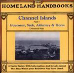
This guide provides invaluable background information on Channel Islands Part 1 Guernsey, Sark, Alderney and Herm in the 1900's. This official council guide has maps, photographs and illustrations. It covers the history, traditions, worthies, antiquities and literary associations. This CD is a useful guide with information and details about the area where your relatives may have lived. *Digitally enchanced images of the original text *Includes maps, photographs and illustrations *Searchab More Info
Can't find what you're looking for? Try using our filter system to narrow down your search.
Available through our sister site GenFair
SHETLAND Islands 1845
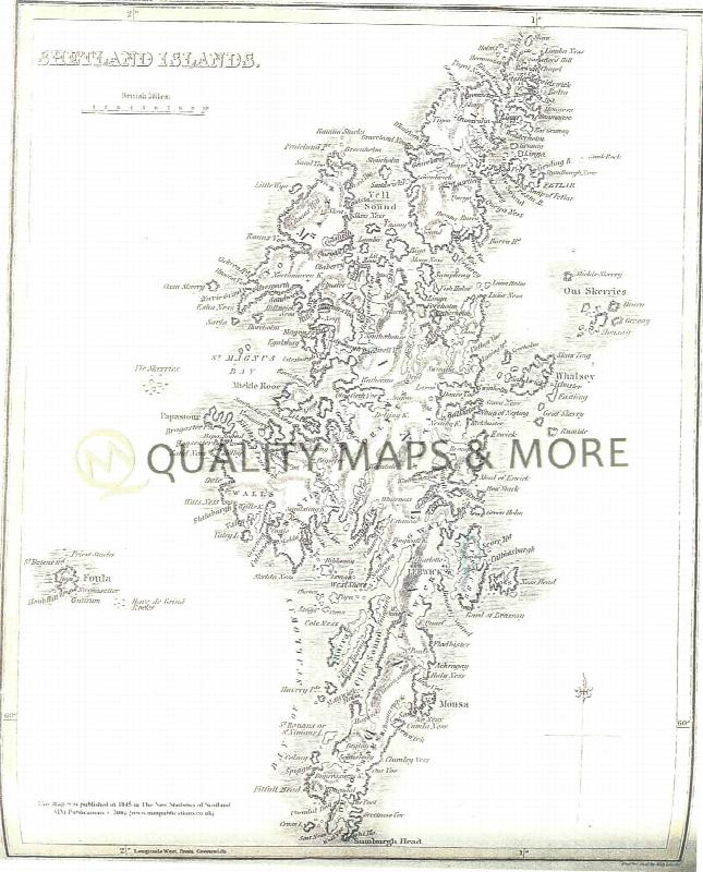
A QUALITY A3 SIZE COLOUR REPRODUCTION FROM THE NEW STATISTICAL ACCOUNT OF SCOTLAND 1845. MOST MAPS HAVE THE PARISHES OUTLINED LASER PRINTER ON GOOD QUALITY CARTRIDGE PAPER. SENT FOLDED IN A PLASTIC DISPLAY SLEEVE IN A STIFF CARD ENVELOPE AT THE LARGE LETTER RATE. SCALES VARY [WATERMARKS WILL NOT SHOW ON PURCHASES]
The Londonderry Plantation 1609-41: The city of London and the Plantation in Ulster
The Londonderry Plantation was published originally in 1939. Only 500 units were produced and printed in the Channel Islands where, reputedly, part of the stock was impounded by the occupation of the islands by the Germans at the end of June 1940. Thus a hugely important work, by an accomplished historian, who was able to draw on historical archives in the City of London which perished in the B...More Info
Tracing Your British Ancestors
2nd edition (1996) By Colin R. Chapman. Mainly aimed at remote researchers, this is a helpful guide that details many things you can do outside the county you are researching, especially useful to those tracing British ancestors from overseas. This book covers some subjects and areas omitted from other general guides - for example Scotland, Ireland, Isle of Man and Channel Islands are covered - an...More Info
The Bishops' Registers of Confirmations in the Midland and London Districts of the Catholic Church in England
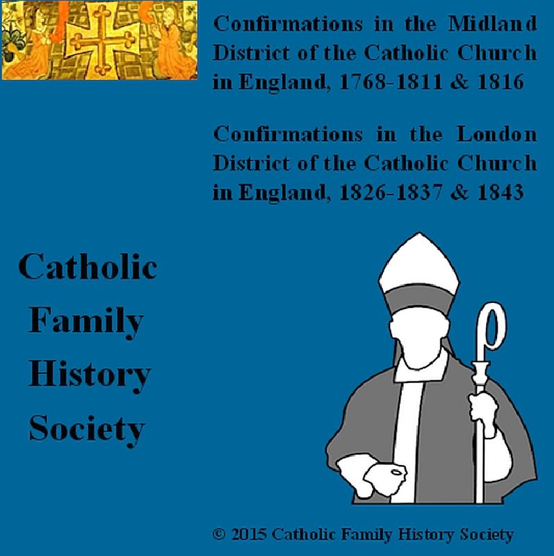
The Midland register covers 1768-1811 and 1816. The Midland District comprised the counties of Derbyshire, Huntingdonshire, Leicestershire, Lincolnshire, Norfolk, Northamptonshire, Nottinghamshire, Oxfordshire, Shropshire, Staffordshire, Suffolk, Warwickshire and Worcestershire. Includes an index to names, 265 pages The London Register covers 1826-1837 and 1843. The London District was comprised ...More Info
The Garmorys (2020)
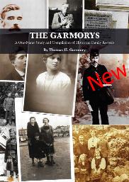

A One-Name Study and Compilation of Historical Family Records. This is a 140 page book by Thomas H. Garmory (1926-2018). With name variations of Garmery, Garmorie, Germary, Germerie, Girmerie, Gomery, MakGarmory, McGarmorie, McGarmurrie, Montgomery and distribution around Scotland (including Kirkcudbrightshire, the epicentre of Garmory family history), England, Wales, Isle of Man, Channel Islands,...More Info