Search Results for: “Derbyshire”
UK Maps Collection


A collection of over 100 maps covering England, Scotland, Ireland and Wales. These high resolution maps can show you how place-names and counties differed from the present day. Contains various printable maps showing towns, counties, and countries in the UK from as early as 1660. More Info
Product Code: GRD36
Derbyshire, Buxton c.1890 Map CD Special Offer
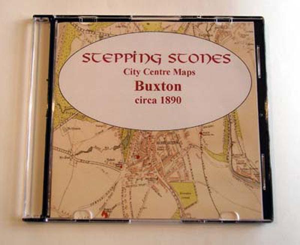
Stepping Stones publication Buxton c.1890 Map CD... More Info
Can't find what you're looking for? Try using our filter system to narrow down your search.
Available through our sister site GenFair
Contiguous Parishes - Derbyshire
A small booklet listiing the ancient parishes in each county, together with the names of the parishes which surround them. An ideal aid for locating missing ancestors. A5 booklet (8 pages)
Derbyshire 1823-4 Pigot Directory
18 pages on mini-CD from fiche images filmed from the original book, .pdf reader required. Published by SFHG & Parish Register Transcription Society.
Derbyshire 1842 Pigot Directory
83 pages on mini-CD from fiche images filmed from the original book, .pdf reader required. Published by SFHG & Parish Register Transcription Society.
Derbyshire 1850 Slater's Directory
108 pages on mini-CD from fiche images filmed from the original book, .pdf reader required. Published by SFHG & Parish Register Transcription Society.
The Bishops' Registers of Confirmations in the Midland and London Districts of the Catholic Church in England

The Midland register covers 1768-1811 and 1816. The Midland District comprised the counties of Derbyshire, Huntingdonshire, Leicestershire, Lincolnshire, Norfolk, Northamptonshire, Nottinghamshire, Oxfordshire, Shropshire, Staffordshire, Suffolk, Warwickshire and Worcestershire. Includes an index to names, 265 pages The London Register covers 1826-1837 and 1843. The London District was comprised ...More Info