Search Results for: “Leeds”
UK Maps Collection


A collection of over 100 maps covering England, Scotland, Ireland and Wales. These high resolution maps can show you how place-names and counties differed from the present day. Contains various printable maps showing towns, counties, and countries in the UK from as early as 1660. More Info
Product Code: GRD36
Leeds Area c.1920 Map CD (21 maps) Special Offer


Stepping Stones publication Leeds Area c.1920 Map CD (21 maps)... More Info
Yorkshire, Leeds Map CD (2 maps, c.1890-95) Special Offer
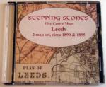
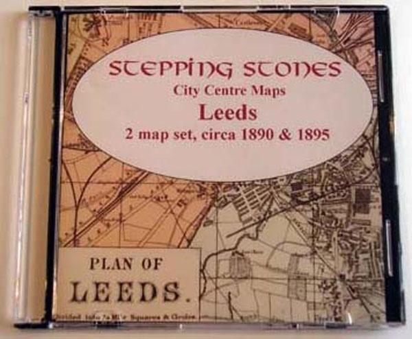
Stepping Stones publication Leeds Map CD (2 maps, c.1890-95)... More Info
Can't find what you're looking for? Try using our filter system to narrow down your search.
Available through our sister site GenFair
1863 MERCANTILE DIRECTORY OF LEEDS
A directory of Leeds with Armley, Batley, Birstal, Bramley, Churwell, Farnley, Farsley, Gildersome, Horsforth, Yeadon and Rawden, Kirkstall, Morley, Pudsey and Fulneck and Stanningley
LEEDS PARISH CHURCH & CHAPELRIES - VOL 1
Registers 1695 - 1722, with some earlier & later dates Baptisms, Marriages & Burials in the Parish Church of Leeds, 1695 - 1722, including the Chapelries at Armley 1665 - 1711 & Hunslet 1686 - 1724. This CD is machine searchable.
LEEDS CHAPELRIES - VOL 2
Registers 1724 - 1764 Baptisms, Marriages & Burials in the Leeds Chapelries of St. John's, Holy Trinity, Armley, Beeston, Bramley, Chapel-Allerton, Farnley, Headingley, Holbeck and Hunslet. This CD is machine searchable.
LEEDS PARISH REGISTERS - Vol. 5
Baptisms, & Burials in the Leeds Parish Church, for the years 1589 to 1612
LEEDS GRAMMAR SCHOOL - Admissions Book 1820 - 1900
The registers of pupils who attended Leeds Grammar School, with an index of names and descriptions of the lives and careers of ex-pupils