Search Results for: “Scotland”
UK Maps Collection


A collection of over 100 maps covering England, Scotland, Ireland and Wales. These high resolution maps can show you how place-names and counties differed from the present day. Contains various printable maps showing towns, counties, and countries in the UK from as early as 1660. More Info
Product Code: GRD36
The Phillimore Atlas and Index of Parish Registers - Hardback Book Special Offer
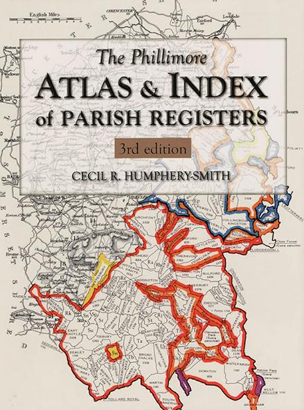
This guide to parish registers, now in its third edition, and covering England, Scotland and Wales, is a vital, time-saving tool that has become universally known as 'the genealogist's bible'. The Atlas includes the famous county 'parish' maps, which show pre-1832 parochial boundaries, colour-coded probate jurisdictions, starting dates of surviving registers, and churches and chapels, where relevant. Topographical maps face each 'parish' map, and show the contemporary road system and other More Info
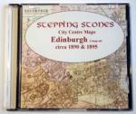
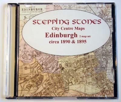
Scotland, Edinburgh Map CD (c.1899) Special Offer
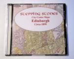

Stepping Stones publication Edinburgh Map CD (c.1899)... More Info
Scotland, Glasgow c.1890 Map CD Special Offer
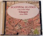
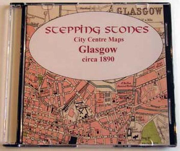
Stepping Stones publication Glasgow c.1890 Map CD... More Info
Product Code: SS5873
Bacon's Atlas of the British Isles 1881
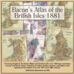
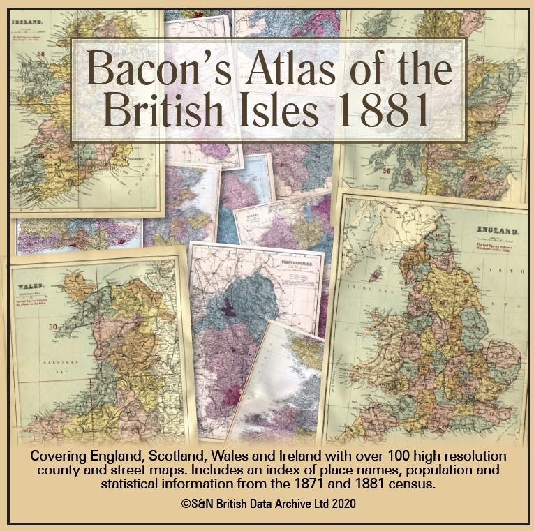
This virtual DVD resource covers England, Scotland, Wales and Ireland with over 100 high-resolution county and street maps. Includes an index of place names, population and statistical information from the 1871 and 1881 census.... More Info
Product Code: GRD6768
Can't find what you're looking for? Try using our filter system to narrow down your search.
Available through our sister site GenFair
UK RESIDENTS 3-Year Membership Central Scotland FHS
3 Year Subscription with choice of printed or e-version journals
UK RESIDENTS Central Scotland FHS 3-Year Membership CONCESSIONARY PRICE
3 Year Subscription for those who are retired, non-working or students
UK RESIDENTS Individual Annual Concession Membership Central Scotland FHS
For those who are retired, not working or students
Overseas 1-Year Membership with e-journals Central Scotland FHS
Annual membership for overseas residents who prefer to receive the journals electronically