Search Results for: “Warwickshire”
S&N Tri-County CD of Devon, Norfolk and Warwick
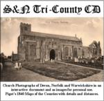
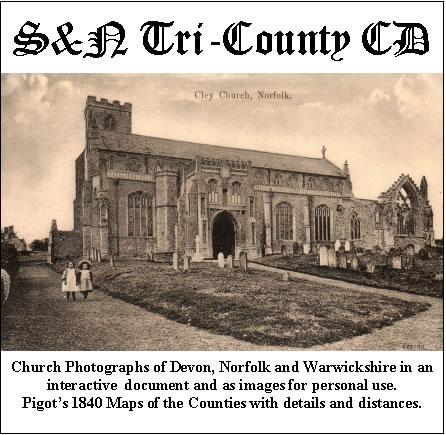
Church photographs of Devon, Norfolk, and Warwickshire in an interactive document and as images for personal use; Pigot's 1840 maps of the counties with details and distances... More Info
Product Code: GRD30
UK Maps Collection


A collection of over 100 maps covering England, Scotland, Ireland and Wales. These high resolution maps can show you how place-names and counties differed from the present day. Contains various printable maps showing towns, counties, and countries in the UK from as early as 1660. More Info
Product Code: GRD36
Product Code: SS5082

Can't find what you're looking for? Try using our filter system to narrow down your search.
Available through our sister site GenFair
What is Where for C of E Parishes of N. Warks
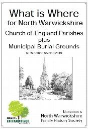
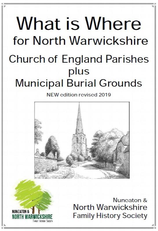
Details of the extant registers and Bishop's Transcripts for the parishes of north Warwickshire. Includes some gaps identified in registers which are not shown on other listings.
Putting Your Ancestors in Right Place
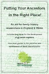
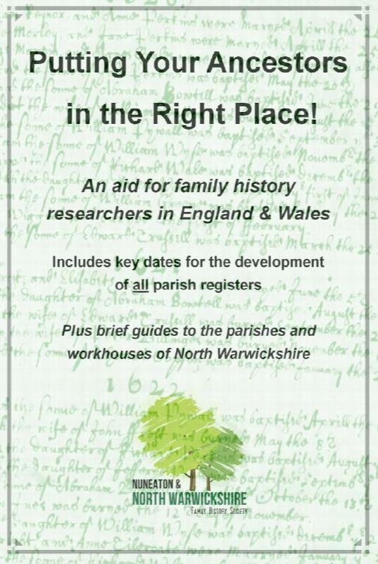
Ideas on sorting out placenames anywhere, plus specific lists for north Warwickshire.
Nonconformist Chapel Licence applications
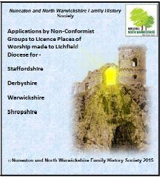
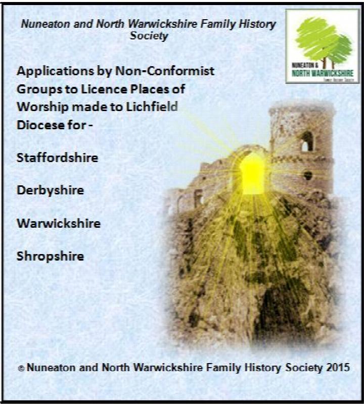
Applications to diocese of Lichfield: Staffordshire, Derbyshire, Warwickshire & Shropshire entries. Place of nonconformist worship were once required to acquire a licence from the diocese. This index names all decipherable names from the applications held for the diocese of Lichfield.
The Bishops' Registers of Confirmations in the Midland and London Districts of the Catholic Church in England
The Midland register covers 1768-1811 and 1816. The Midland District comprised the counties of Derbyshire, Huntingdonshire, Leicestershire, Lincolnshire, Norfolk, Northamptonshire, Nottinghamshire, Oxfordshire, Shropshire, Staffordshire, Suffolk, Warwickshire and Worcestershire. Includes an index to names, 265 pages The London Register covers 1826-1837 and 1843. The London District was comprised ...More Info
Catholic Missions and Registers - The Midlands & East Anglia
By Michael Gandy. Providing details of Roman Catholic churches and missions, on a county-by-county basis, with dates of foundation and the dates and location of their records. This volume covers the counties of Bedfordshire, Buckinghamshire, Cambridgeshire, Derbyshire, Huntingdonshire, Leicestershire, Lincolnshire, Norfolk, Northamptonshire, Nottinghamshire, Oxfordshire, Rutland, Shropshire, Staff...More Info