Search Results for: “Phillimore Parish Records”
Cumberland Phillimore Parish Records (Marriages) - Volumes 01 & 02 on one CD
Volume 1 - Moresby 1676-1837, Workington 1670-1837 Volume 2 - Crosby on Eden 1665-1837, Gosforth 1571-1837, Harrington 1652-1837, Stanwix 1662-1837... More Info
Can't find what you're looking for? Try using our filter system to narrow down your search.
Available through our sister site GenFair
East Yorkshire Family History Society Parish Map
A map showing all the Church of England parishes in the East Yorkshire Family History Society area. It includes where the Parish Registers are now held, the boundaries of the 14 Civil Registration Districts and the earliest register dates of churches in Scarborough, Bridlington, Beverley, Malton-Norton and present day Kingston upon Hull. Revised June 2006. This item is A3 in size and delivered ...More Info
Ecclesiastical Parish Boundaries of Hull
This map shows the Church of England parish boundaries within Hull. This item is A3 in size and delivered folded to A4.
Parish Boundaries of Hull, Sculcoates & District
The present day City of Kingston upon Hull now covers more area than it used to. This map shows the parish boundaries of Hull, Sculcoates and the other districts now included in the City. This map is A4 is size and coloured.
Whitson St Mary's Baptisms, Marriages & Burials from 1728

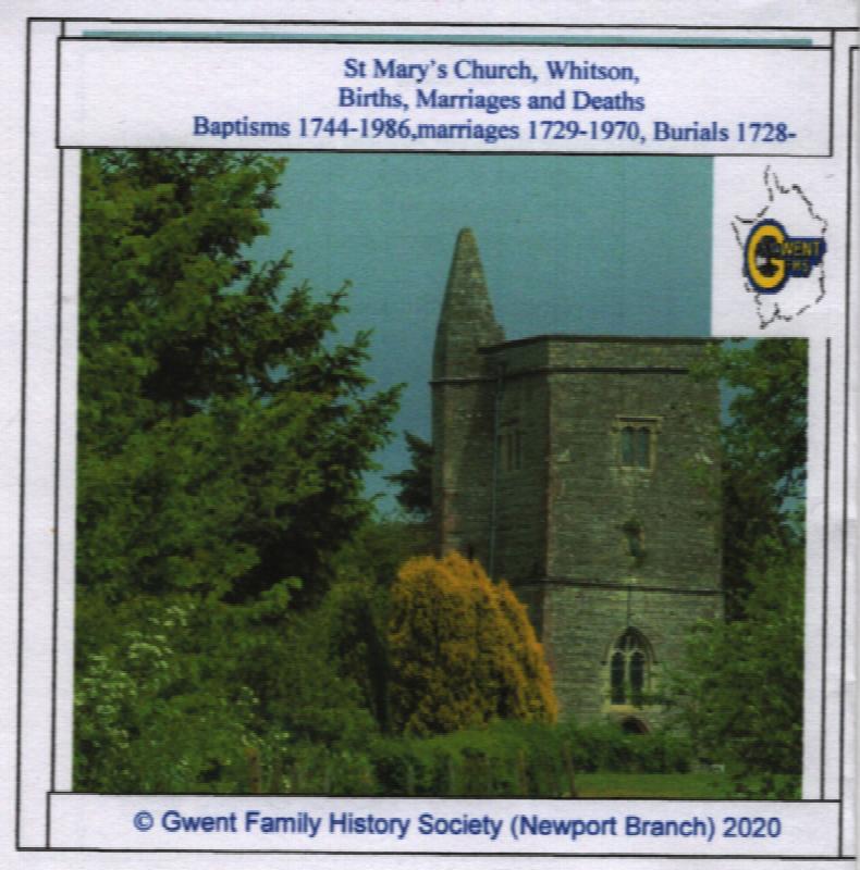
The parish registers of St Mary's parish church in Whitson. They include the baptismal records from 1744 through to 1928. The marriage records from 1729 through to 1943 and the burial records from 1728 through till 1815 and photographs of the Church.
Genealogy for Beginners
By Arthur Willis and Karin Proudfoot . Many books have been written for the would-be genealogist, but none has equalled the popularity of this little book on English research. First published in 1955, it is now in its 6th completely re-written edition. Contents include How to Begin; Records of searches; Births, marriages and deaths; Census return; Parish registers; Other parish records; Wills and ...More Info