Search Results for: “Carnarvonshire”
UK Maps Collection


A collection of over 100 maps covering England, Scotland, Ireland and Wales. These high resolution maps can show you how place-names and counties differed from the present day. Contains various printable maps showing towns, counties, and countries in the UK from as early as 1660. More Info
Product Code: GRD36
Carnarvon & North Wales 1920/1 Ward & Lock's Illustrated Guide
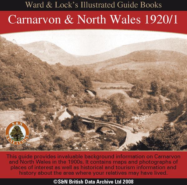
This CD contains a guide that provides invaluable background information on Carnarvon,Bangor, Anglesey, Penmaenmawr and Llanfairfechan, Conway, Bettws-y-Coed, Llandudno, Colwyn Bay, and Rhyl in the 1900s. It contains maps and photographs of places of interest as well as historical and tourism information and history about the area where your relatives may have lived. *Digitally enhanced images of the original text *Searchable text *Bookmarked by major headings *Fully printable More Info
Can't find what you're looking for? Try using our filter system to narrow down your search.