Search Results for: “Rutland”
UK Maps Collection


A collection of over 100 maps covering England, Scotland, Ireland and Wales. These high resolution maps can show you how place-names and counties differed from the present day. Contains various printable maps showing towns, counties, and countries in the UK from as early as 1660. More Info
Product Code: GRD36
Can't find what you're looking for? Try using our filter system to narrow down your search.
Available through our sister site GenFair
Rutland Record 40
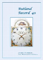
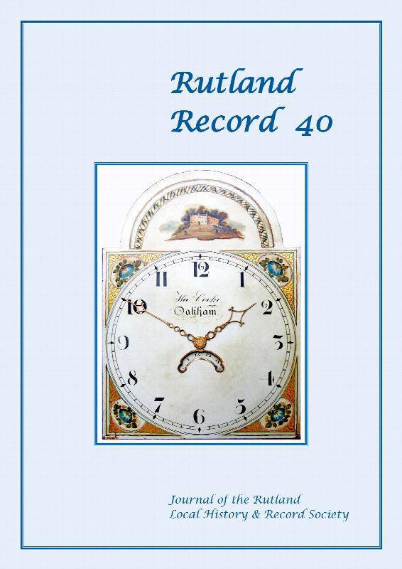
The manor of Preston-cum-Uppingham in 1595, with transcript of a detailed manorial survey of that date; Thomas Cooke, Oakham clockmaker, with details of other local clock and watch makers of the 19th and early 20th centuries; Chancellor William Wales, rector of Uppingham 1859-1879, and his contributions to the town; Rutland history and archaeology in 2019, including Portable Antiquities Scheme, co...More Info
Rutland Record 41
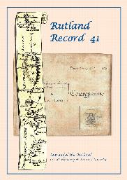
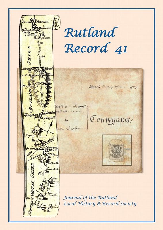
The Oakham Anglo-Saxon coin hoard of 1749; An Oakham conveyance of 1824 and Thomas Sewell's windmill at Mount Pleasant; An early twentieth century Whissendine memoir; Oakham School: its reversion to full independence and the introduction of co-education half a century ago; Rutland history and archaeology in 2020
Mills and Millers of Langham (Rutland)
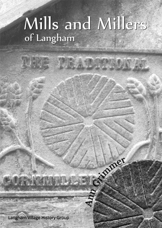
Langham (Rutland) Mills, Millers and their Families from 1305 into the 20th c
Northamptonshire & Rutland Probate Index 1469-1858
An index to the Northamptonshire & Rutland Wills & Probate records held at Northamptonshire Record Office (updated and revised Apr19). Contains PDF in surname, forename, parish order and PDF in parish, surname, forename order.
Northants & Rutland Probate index 1469-1858 - on USB
(USB) An index to the Northamptonshire & Rutland Wills & Probate records held at Northamptonshire Record Office (updated and revised Apr19). Contains PDF in surname, forename, parish order and PDF in parish, surname, forename order.