Search Results for: “Yorkshire Census”
A3 Luxury Burgundy Family History Binder

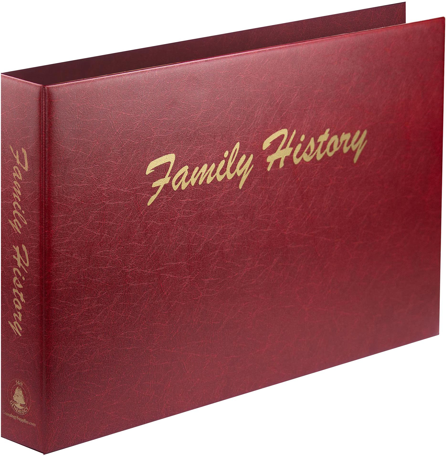
Designed for premium protection and presentation, this luxury A3 binder features a padded leather-look finish with strengthened covers to safeguard your important documents, charts, and memorabilia. The heavy-duty 4-ring mechanism ensures secure storage and easy page turning for large-format items. Perfect for storing A3 documents, census, family trees, certificates, military records and keepsakes, this binder is ideal for collectors, archivists, and professionals alike. It comes with 'Family More Info
Product Code: F323BUR
Can't find what you're looking for? Try using our filter system to narrow down your search.
Available through our sister site GenFair
Scarborough, Filey & District 1896
Dated 1896. Sheet 54. 1in to mile. This One Inch to the Mile map covers Scarborough and the area south and west, with coverage stretching from Filey westward to Rillington, and from Scarborough southward to Helperthorpe. Features include the Pickering & Scarborough railway, Ayton Castle, the fringe of the North Yorkshire Moors in the NW, and the chalk Wolds in the south. On the reverse, there is ...More Info
York (NE) & Heworth 1889
Dated 1889. Sheet 174.07. 25in to the mile This map covers the east of the city, including Layerthorpe and Heworth. Features include Red Tower and stretch of walls, Foss Islands Branch railway, gasworks, Monk Bridge, Layerthorpe Bridge, River Foss, workhouse, brick yards and glass works, old windmill, Heworth village, The Glen, Tang Hall, Holy Trinity church, Burnholme, Heworth Hall, Heworth Cotta...More Info
Vale of York (South) 1905-1913
Dated 1905-13. Sheet 71. 1in to mile This One Inch to the Mile map covers the area of the Yorkshire Plain south and east of York. Coverage stretches from the southern outskirts of York (ie including the racecourse but not the city centre) southward to Selby, and from Appleton Roebuck eastward to Nunburnholme station and Everingham station. Apart from Selby, towns on the map include Cawood and Pock...More Info
York (South) 1889
Dated 1889. Sheet 174.10a. 25in to mile, coloured Two versions of this map have been published, showing how the area changed across the years. The 1889 version is in colour, taken from the 1st Edition OS handcoloured edition. These detailed maps cover the southern part of York. Coverage stretches from Micklegate southward to Campleshon Lane, and from Fawcetts Street westward to New Lane and Murray...More Info
York (SE) & Heslington 1890
Dated 1890. Sheet 174.11. 25in to mile, coloured This map is in colour, taken from the beautiful 1st Edition OS handcoloured map. It covers the area from Walmgate SE to Heslington. Features include: Walmgate Bar, St Margaret's church, City Wall, St Lawrence church, Convent of Poor Clares, Friend's Retreat, St Nicholas Hospital site, cattle market, Fulford Road with tramway, Cavalry Barracks, Infan...More Info
Filter
Category
Rings
Compatible Sleeves
Compatible Binders
County
-
Cheshire (0)
Cornwall (0)
Cumberland (0)
Denbighshire (0)
Derbyshire (0)
Devon (0)
Dorset (0)
Durham (0)
England (0)
Essex (0)
Flintshire (0)
Glamorganshire (0)
Gloucestershire (0)
Hampshire (0)
Herefordshire (0)
Hertfordshire (0)
Huntingdonshire (0)
Ireland (0)
Isle of Man (0)
Kent (0)
Lancashire (0)
Leicestershire (0)
Lincolnshire (0)
London (0)
Merionethshire (0)
Middlesex (0)
Monmouthshire (0)
Montgomeryshire (0)
Norfolk (0)
Northamptonshire (0)
Northumberland (0)
Nottinghamshire (0)
Oxfordshire (0)
Pembrokeshire (0)
Radnorshire (0)
Rutland (0)
Scotland (0)
Shropshire (0)
Somerset (0)
Staffordshire (0)
Suffolk (0)
Surrey (0)
Sussex (0)
Wales (0)
Warwickshire (0)
Westmorland (0)
Wiltshire (0)
Worcestershire (0)
Yorkshire (0)