Search Results for: “Hampshire”
UK Maps Collection


A collection of over 100 maps covering England, Scotland, Ireland and Wales. These high resolution maps can show you how place-names and counties differed from the present day. Contains various printable maps showing towns, counties, and countries in the UK from as early as 1660. More Info
Product Code: GRD36
Portsmouth c.1895 Map CD Special Offer
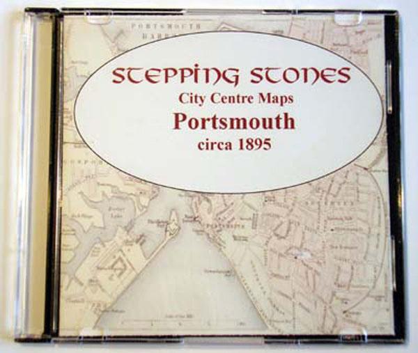
Stepping Stones publication Portsmouth c.1895 Map CD... More Info
Southampton c.1895 Map CD Special Offer
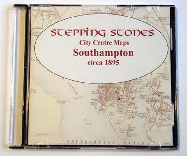
Stepping Stones publication Southampton c.1895 Map CD... More Info
Can't find what you're looking for? Try using our filter system to narrow down your search.
Available through our sister site GenFair
Hampshire Monumental InscriptionsROPLEY AREA HMI 22
BEAUWORTH: St. James BISHOP'S SUTTON: St. Nicholas BRAMDEAN: St. Simon & St. Jude CHERITON: St. Michael & All Angels HINTON AMPNER: All Saints HINTON AMPNER: Cemetery KILMESTON: St. Andrew ROPLEY: St. Peter TICHBORNE: St. Andrew WEST TISTED: St. Mary Magdalen
Hampshire Monumental InscriptionsROMSEY AREA HMI 28
NURSLING: St. Boniface ROMSEY ABBEY: Internal ROMSEY ABBEY: External in Situ ROMSEY ABBEY: External Remote ROMSEY: Botley Road Cemetery ROMSEY: Woodley Cemetery ROWNHAMS: St. John the Evangelist
Hampshire Monumental InscriptionsRINGWOOD AREA HMI 39
BISTERNE: St. Paul BURLEY: Independent BURLEY: St. John the Baptist ELLINGHAM: St. Mary & All Saints HARBRIDGE: All Saints IBSLEY: St. Martin MOCKBEGGAR: Independent Chapel RINGWOOD: Cemetery RINGWOOD: St. Peter & St. Paul
Hampshire Monumental InscriptionsAMPORT AREA HMI 7
AMPORT: Cemetery AMPORT: St. Mary FYFIELD: St. Nicholas GRATELEY: Cemetery GRATELEY: St. Leonard KIMPTON: Cemetery KIMPTON: St. Peter & St. Paul MONXTON: St. Mary the Virgin NORTH TIDWORTH: Holy Trinity QUARLEY: St. Michael & All Angels SHIPTON BELLINGER: St. Peter SOUTH TIDWORTH: St. Mary