Search Results for: “Oxfordshire”
UK Maps Collection


A collection of over 100 maps covering England, Scotland, Ireland and Wales. These high resolution maps can show you how place-names and counties differed from the present day. Contains various printable maps showing towns, counties, and countries in the UK from as early as 1660. More Info
Product Code: GRD36

Can't find what you're looking for? Try using our filter system to narrow down your search.
Available through our sister site GenFair
Kent FHS CD 14 Index of Kent Strays from the 1851 census

The CD contains about 115,000 entries. Fully indexed with links to 'as enumerated' records. Coverage Main areas: Middlesex and City of London Surrey Sussex Hampshire Berkshire Hertfordshire Buckinghamshire Oxfordshire Northamptonshire Huntingdonshire Bedfordshire Cambridgeshire Essex Suffolk Norfolk Hereford Westmorland ...More Info
Berkshire (The KIng's England)
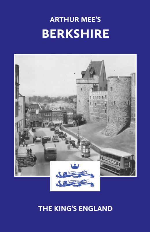
There have been many books on Berkshire, but never one like this… The perfect historic guide to Berkshire churches, castles and other historic places. “A thousand years of history is wrapt up in the Berkshire hills, and far beyond that its story goes…” – Arthur Mee Arthur Mee’s guide to 170 places in the historic county of Berkshire (including the Vale of the White Horse, in O...More Info
PS90 Compleat Parish Officer 1734
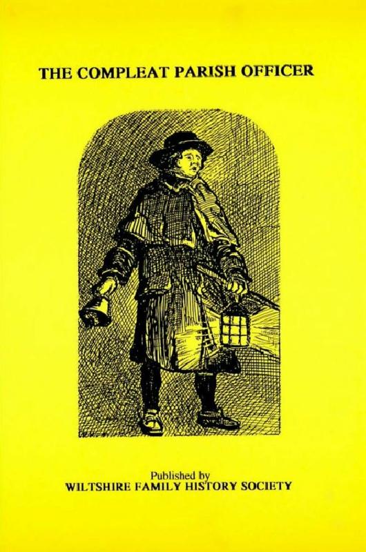
Reprint of a guide for parish officers to deal with complex poor laws and social problems. A5 104p