Search Results for: “Leicestershire”
UK Maps Collection


A collection of over 100 maps covering England, Scotland, Ireland and Wales. These high resolution maps can show you how place-names and counties differed from the present day. Contains various printable maps showing towns, counties, and countries in the UK from as early as 1660. More Info
Product Code: GRD36
Can't find what you're looking for? Try using our filter system to narrow down your search.
Available through our sister site GenFair
Rutland Record 40
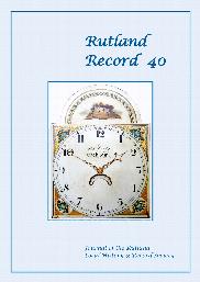
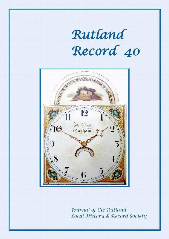
The manor of Preston-cum-Uppingham in 1595, with transcript of a detailed manorial survey of that date; Thomas Cooke, Oakham clockmaker, with details of other local clock and watch makers of the 19th and early 20th centuries; Chancellor William Wales, rector of Uppingham 1859-1879, and his contributions to the town; Rutland history and archaeology in 2019, including Portable Antiquities Scheme, co...More Info
Index of Rutland Record Nos 31-40
Detailed general index of the ten issues of Rutland Record from 2011 to 2020 inclusive, also with an index of authors and articles and an index of titles mentioned in the Rutland bibliography section of each issue. Together with previous indexes this forms an invaluable research tool for anyone studying Rutland's history and archaeology. 56pp.