Search Results for: “Nottinghamshire”
UK Maps Collection


A collection of over 100 maps covering England, Scotland, Ireland and Wales. These high resolution maps can show you how place-names and counties differed from the present day. Contains various printable maps showing towns, counties, and countries in the UK from as early as 1660. More Info
Product Code: GRD36
Nottingham c.1895 Map CD Special Offer
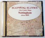
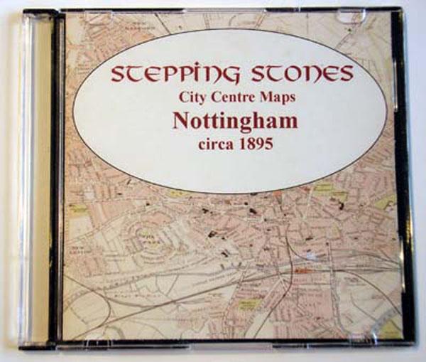
Stepping Stones publication Nottingham c.1895 Map CD... More Info
Can't find what you're looking for? Try using our filter system to narrow down your search.
Available through our sister site GenFair
PS91 Handy Book of Parish Law
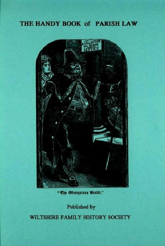
Reprint of a 3rd Ed. (1872) of a book dealing with many aspects of law affecting the parish and its officers. A5 112p
Index of Rutland Record Nos 31-40
Detailed general index of the ten issues of Rutland Record from 2011 to 2020 inclusive, also with an index of authors and articles and an index of titles mentioned in the Rutland bibliography section of each issue. Together with previous indexes this forms an invaluable research tool for anyone studying Rutland's history and archaeology. 56pp.