Search Results for: “Merionethshire”
UK Maps Collection


A collection of over 100 maps covering England, Scotland, Ireland and Wales. These high resolution maps can show you how place-names and counties differed from the present day. Contains various printable maps showing towns, counties, and countries in the UK from as early as 1660. More Info
Product Code: GRD36
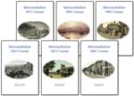
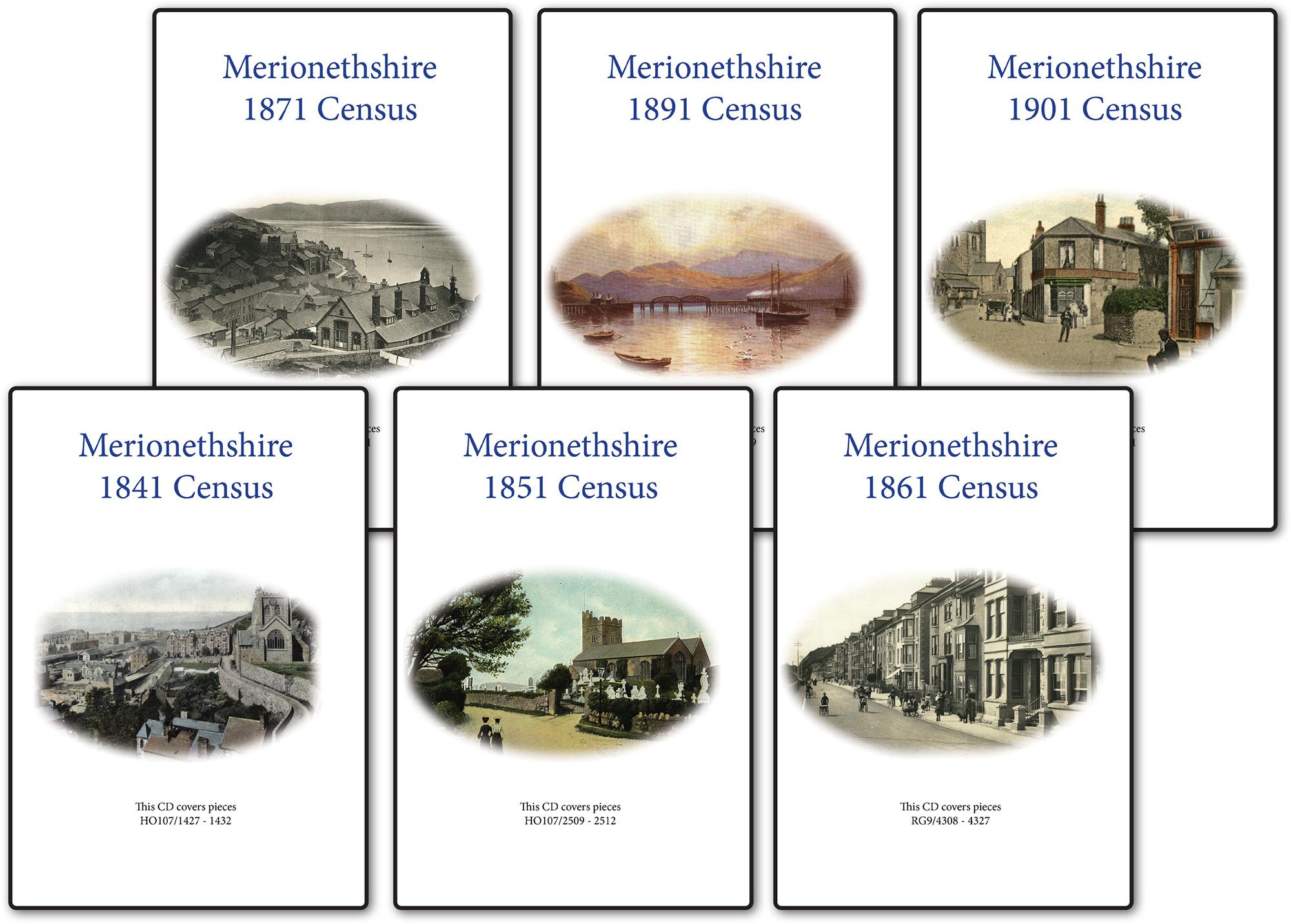
Merionethshire 1891 Census Special Offer

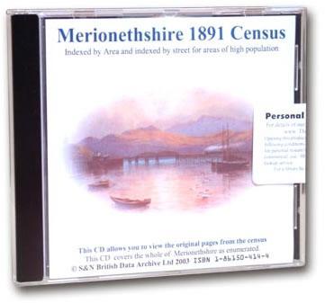
This is the original Census information digitised from microfiche and supplied as Acrobat documents with Street and Area Indexes. ... More Info
Merionethshire 1901 Census Special Offer

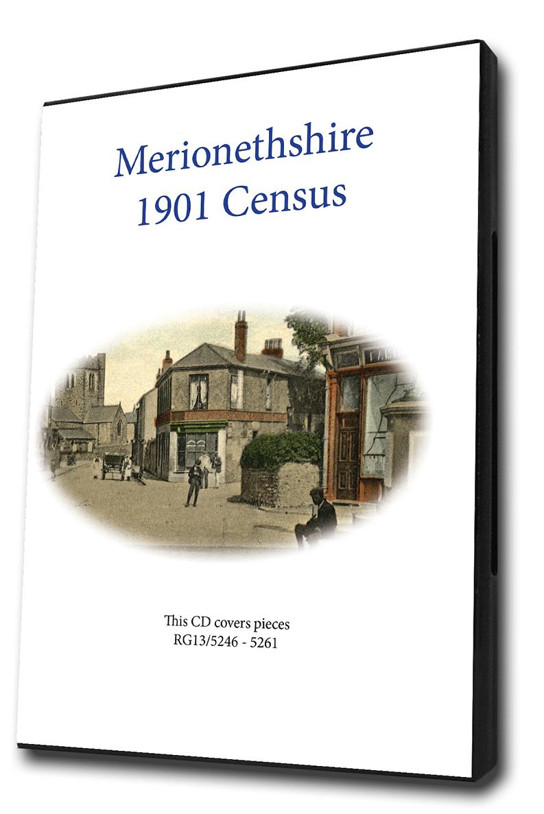
This is the original Census information digitised from microfiche and supplied as Acrobat documents with Street and Area Indexes. ... More Info
Merionethshire 1871 Census Special Offer

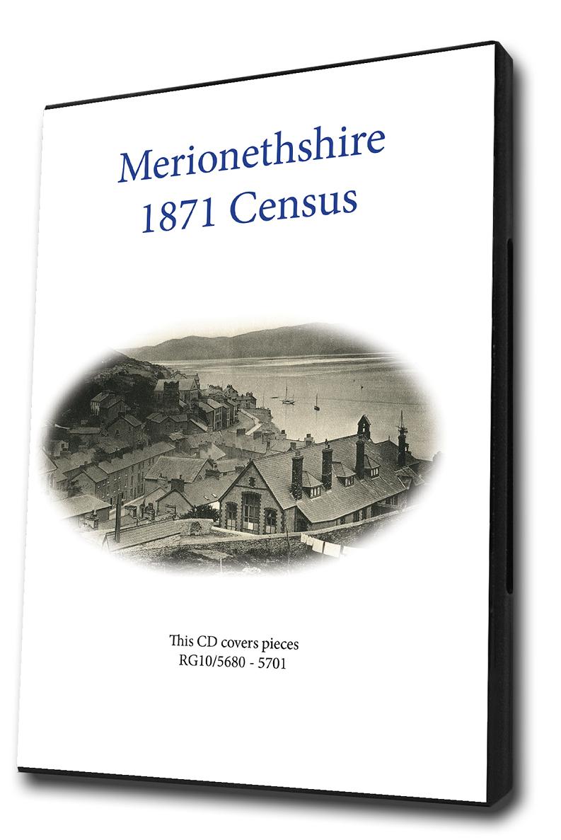
This is the original Census information digitised from microfiche and supplied as Acrobat documents with Street and Area Indexes. ... More Info
Merionethshire 1861 Census Special Offer
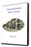
This is the original Census information digitised from microfiche and supplied as Acrobat documents with Street and Area Indexes. ... More Info
Merionethshire 1851 Census Special Offer

This is the original Census information digitised from microfiche and supplied as Acrobat documents with Street and Area Indexes. ... More Info
Merionethshire 1841 Census Special Offer
This is the original Census information digitised from microfiche and supplied as Acrobat documents with Street and Area Indexes. ... More Info
Merionethshire Census Bundle - 1841, 1851, 1861, 1871 and 1891 Special Offer
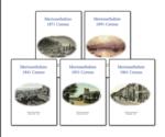
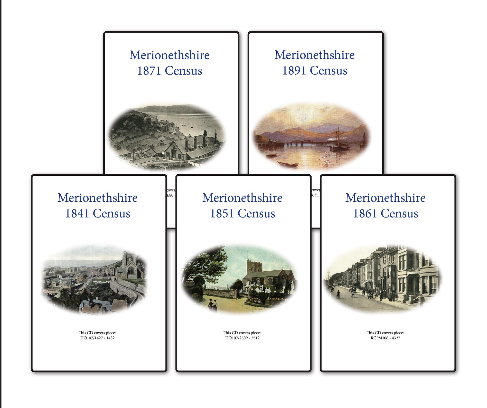
This Census bundle contains the sets for the years 1841,1851,1861,1871 and 1891. Each set consists of a CD pack of acrobat documents which contain census page images indexed by street and area.... More Info
Merionethshire Census Bundle - 1841, 1851, 1861 and 1871 Special Offer
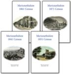
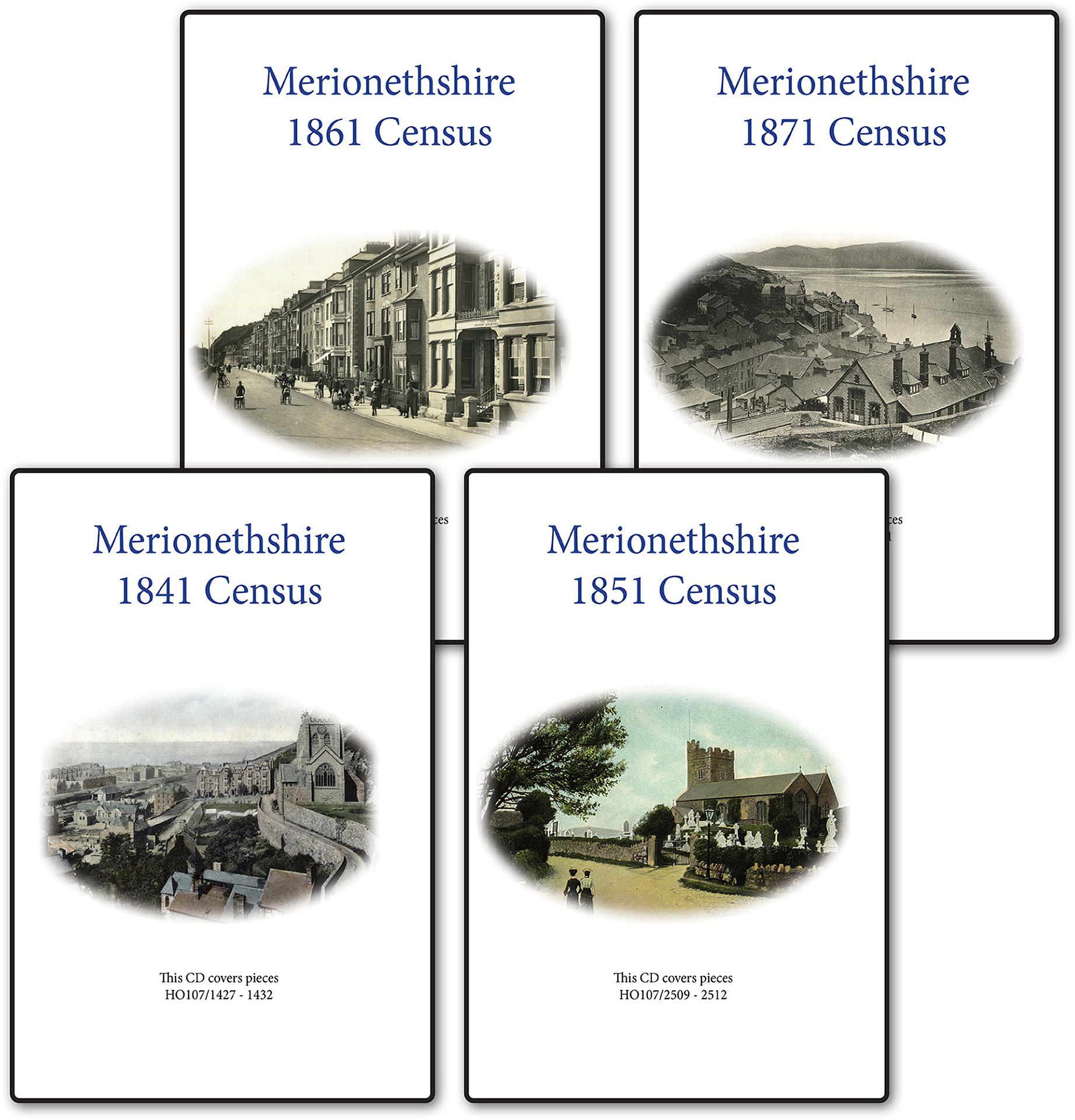
This Census bundle contains the sets for the years 1841,1851,1861 and 1871. Each set consists of a CD pack of acrobat documents which contain census page images indexed by street and area.... More Info
Merionethshire Census Bundle - 1841, 1851, 1861, 1871, 1891 and 1901 Special Offer
This Census bundle contains the sets for the years 1841,1851,1861,1871,1891 and 1901. Each set consists of a CD pack of which contain census page images indexed by street and area.... More Info
Can't find what you're looking for? Try using our filter system to narrow down your search.
Available through our sister site GenFair
Llanfor (Llanfawr) Parish Register Vol. 1
Baptisms 1722-1754, Marriages 1722-1754, Burials 1722-1754
Llanfor (Llanfawr) Parish Register Vol. 3
Baptisms 1797-1812, Marriages 1754-1812, Burials 1797-1812
Llanfor (Llanfawr) Parish Register Vol. 4
Baptisms 1813-1837, Marriages 1813-1837, Burials 1813-1837