Search Results for: “Rutland”
UK Maps Collection


A collection of over 100 maps covering England, Scotland, Ireland and Wales. These high resolution maps can show you how place-names and counties differed from the present day. Contains various printable maps showing towns, counties, and countries in the UK from as early as 1660. More Info
Product Code: GRD36
Can't find what you're looking for? Try using our filter system to narrow down your search.
Available through our sister site GenFair
Index of Rutland Record Nos 21-30
General index, indexes of contributors and titles and of books reviewed. Low Price!!
RUTLAND 1787
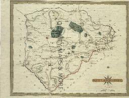
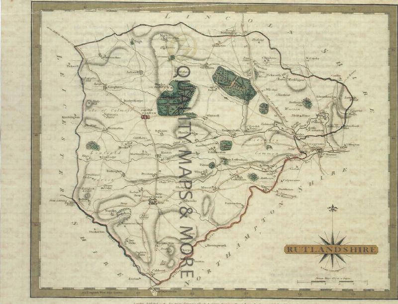
A QUALITY A3 SIZE COLOUR REPRODUCTION FROM JOHN CARY'S 1787 ATLAS WITH DETAILS OF THE COUNTY OVERLEAF. LASER PRINTER ON GOOD QUALITY CARTRIDGE PAPER. SENT FOLDED IN A PLASTIC DISPLAY SLEEVE IN A STIFF CARD ENVELOPE AT THE LARGE LETTER RATE. SCALES VARY
Leicestershire & Rutland (The King's England)
Arthur Mee's classic pre-WW2 guide to the region's settlements including churches and castles and other historic places – with 280 places and 138 pictures.
The Surnames of Leicestershire and Rutland / David Postles. Leopards Head Press, 1998.
If your ancestors were from these two counties, you will want to study this book in order to see how surnames in the region originated and evolved over the centuries, demonstrating how they were affected by local dialects.