Search Results for: “Rutland”
UK Maps Collection


A collection of over 100 maps covering England, Scotland, Ireland and Wales. These high resolution maps can show you how place-names and counties differed from the present day. Contains various printable maps showing towns, counties, and countries in the UK from as early as 1660. More Info
Product Code: GRD36
Can't find what you're looking for? Try using our filter system to narrow down your search.
Available through our sister site GenFair
Index of Rutland Record Nos 11-20
General index, indexes of contributors and titles and of books reviewed. LOW PRICE !
Langham School Days - A Rutland School 1876 - 2000
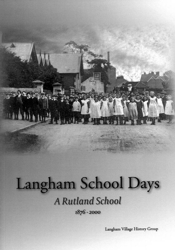
Excerpts from the school logbooks; Brief history of the school; Early photographs; List of Head Teachers; Memories;
No 12. Oakham Lordshold in 1787: a map and survey of Lord Winchilsea's Oakham estate, ed T H McK Clough (2016)
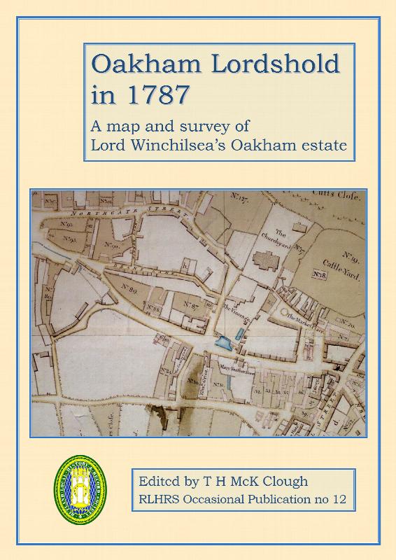
Full description of a fine map of Oakham of 1787 and transcript of accompanying field books. Discussion of the layout of the town, its inhabitants, topography, buildings, roads, fields. Assessment of how the map (the earliest known for Oakham) reveals likely features of the early medieval town. Transcript of Oakham's entry in the Universal British Directory of 1791. Full index. 104pp, paperback, c...More Info
They Left Langham
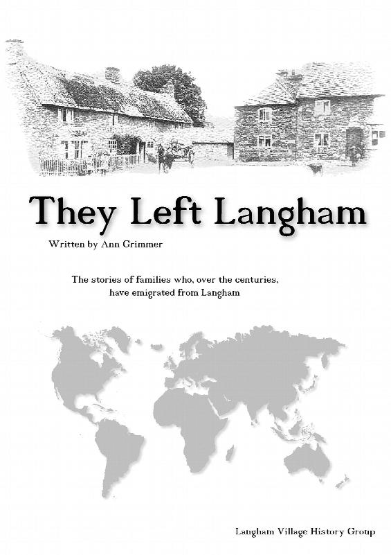
The stories of families who, over the centuries, have emigrated from Langham in Rutland. Written by Ann Grimmer \[Palmer\], - To read a page please go to http://www.langhaminrutland.org.uk/books/TLL28.pdf
Simon de Langham - Village Boy to Cardinal Bishop
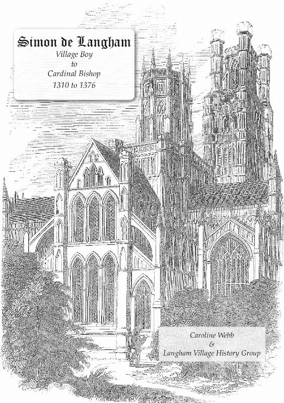
One of the many strange things about the life of Simon de Langham is how little he is known or appreciated, given how important he was in the affairs of both church and state in England during the middle years of the 1300s. Which other figure began life as a Benedictine monk, became Abbot of Westminster and then in turn Treasurer of the Exchequer, Bishop of Ely, Chancellor of England, Archbish...More Info