Search Results for: “Herefordshire”
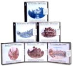
UK Maps Collection


A collection of over 100 maps covering England, Scotland, Ireland and Wales. These high resolution maps can show you how place-names and counties differed from the present day. Contains various printable maps showing towns, counties, and countries in the UK from as early as 1660. More Info
Product Code: GRD36
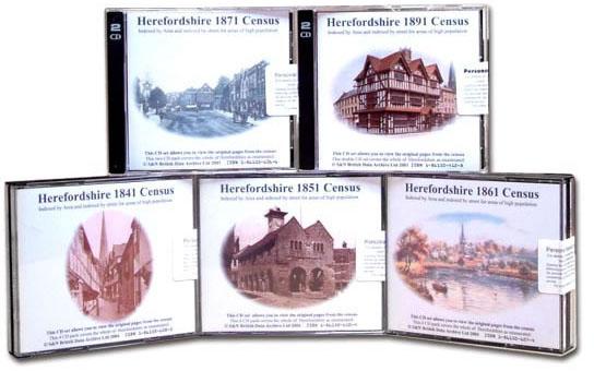
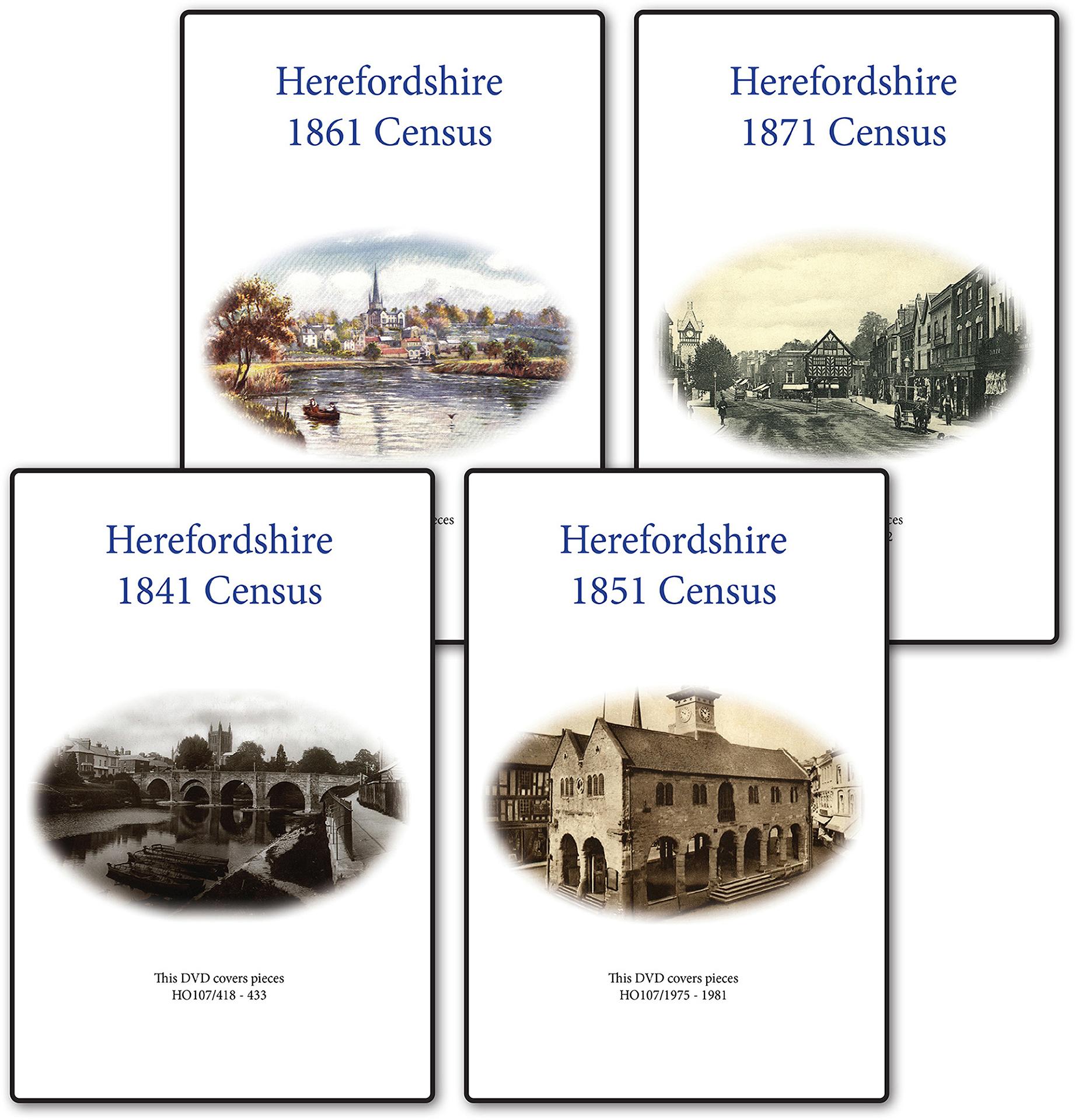
Herefordshire 1861 Census Special Offer
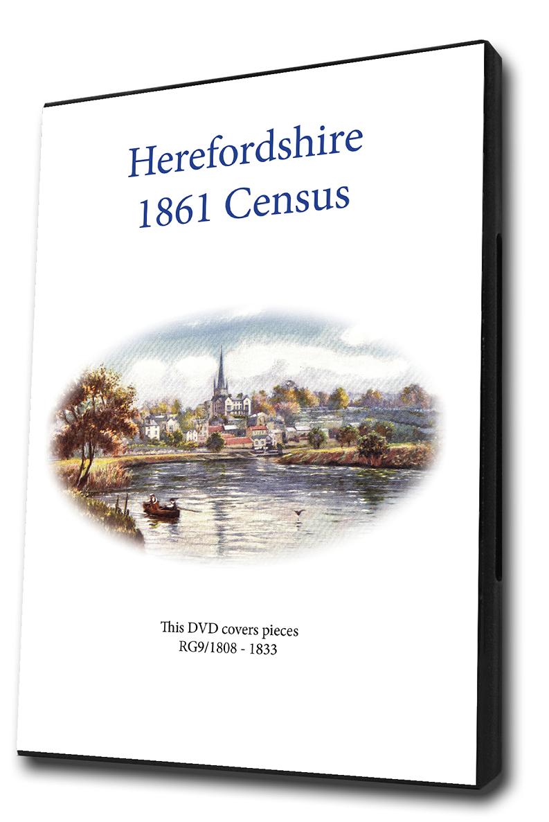
This is the original Census information digitised from microfiche and supplied as Acrobat documents with Street and Area Indexes. ... More Info
Herefordshire 1851 Census Special Offer
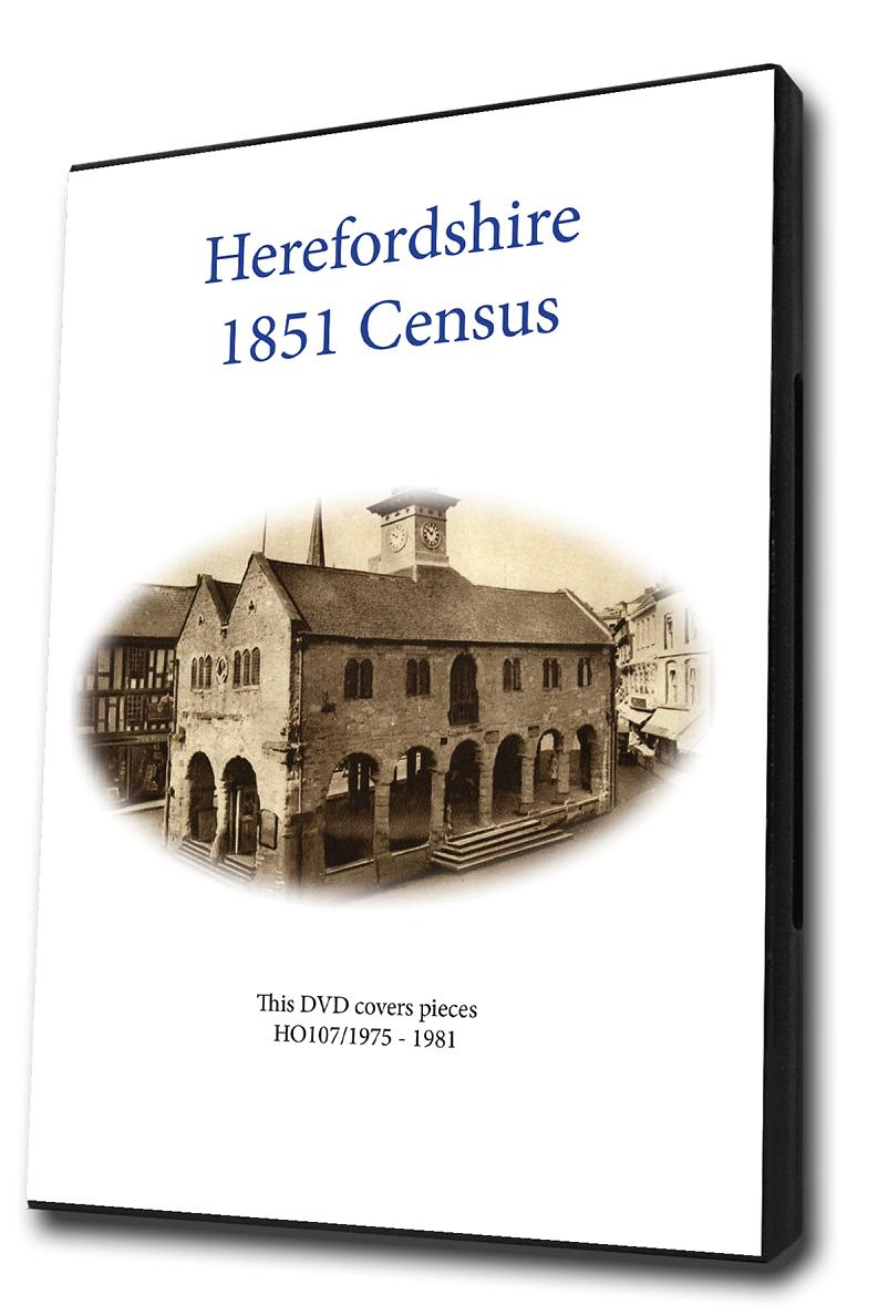
This is the original Census information digitised from microfiche and supplied as Acrobat documents with Street and Area Indexes. ... More Info
Herefordshire 1841 Census Special Offer
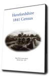

This is the original Census information digitised from microfiche and supplied as Acrobat documents with Street and Area Indexes. ... More Info
Herefordshire Census Bundle - 1841, 1851, 1861, 1871 and 1891 Special Offer
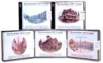
This Census bundle contains the sets for the years 1841,1851,1861,1871 and 1891. Each set consists of a CD pack of acrobat documents which contain census page images indexed by street and area. ... More Info
Herefordshire Census Bundle - 1841, 1851, 1861 and 1871 Special Offer

This Census bundle contains the sets for the years 1841,1851,1861 and 1871. Each set consists of a CD pack of acrobat documents which contain census page images indexed by street and area.... More Info
Slater's 1850 Royal National Directory with Topographies. Derbyshire, Herefordshire, Leicestershire, Lincolnshire, Northamptonshire, Nottinghamshire, Rutlandshire, Shropshire, Staffordshire, Warwickshire, Worcestershire and Monmouthshire Special Offer
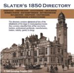

Classified lists of the merchants, bankers, professional gentlemen, manufacturers and traders in the counties of Derbyshire, Herefordshire, Leicestershire, Lincolnshire, Northamptonshire, Nottinghamshire, Rutlandshire, Shropshire, Staffordshire, Warwickshire, Worcestershire and Monmouthshire. Also covers the nobility, gentry, clergy, farmers, carriers, publicans and other trades for these counties.... More Info
Herefordshire Census Bundle - 1841, 1851, 1861, 1871, 1891 and 1901 Special Offer
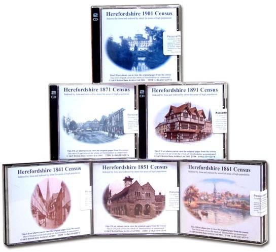
This Census bundle contains the sets for the years 1841,1851,1861,1871,1891 and 1901. Each set consists of a CD pack of which contain census page images indexed by street and area. ... More Info
Pigot's 1835 Herefordshire, Leicestershire, Monmouthshire, Rutlandshire, Staffordshire, Warwickshire, Worcestershire, North Wales and South Wales Directory Special Offer

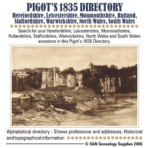
Search for your ancestors in this Pigot's directory. This CD contains descriptions of major county towns, with lists of tradespeople and nobility, gentry and clergy, and general local information. Each county is introduced with a background history. * Alphabetical directory * Shows professions and addresses * Digitally enhanced images of the original text * Searchable * Fully printable... More Info
England, Southern England 1900/01 Phone Book Special Offer

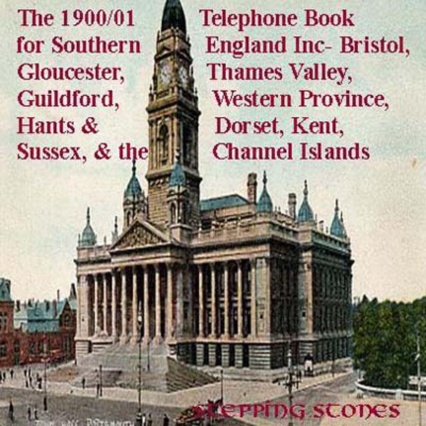
Stepping Stones CD publication. Contents of The 1900/01 Telephone Book for Southern England Hundreds of Names and Addresses in alphabetical order of surnames Areas covered Bristol Area. Clevedon. Weston Super Mare Area. Bridgewater. Bath Area. Batheaston. Radstock. Midsomer Norton. Devizes Area. Frome. Melksham. Chippenham Area. Swindon Area. GloucesterArea Barnwood. Stroud. Stonehouse. Brimscombe. Nailsworth Cheltenham Area. Cleve hill. Cirencester Area. Evesham Area. Pershore. Heref More Info
Catholic Records: Obituaries 1722-1839 Special Offer
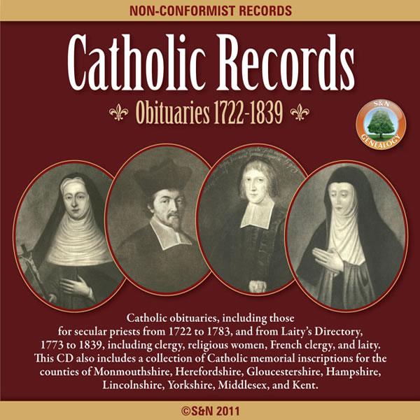
This CD has more than 200 pages of Catholic obituaries, including those for secular priests from 1722 to 1783, and from Laity's Directory, 1773 to 1839, including clergy, religious women, French clergy, and laity. Also includes a collection of Catholic memorial inscriptions for the counties of Monmouthshire, Herefordshire, Gloucestershire, Hampshire, Lincolnshire, Yorkshire, Middlesex, and Kent. *Digitally enhanced images of the original text *Searchable text *Bookmarked by major headings More Info
Discover Your Ancestors Periodical - Issue 5 (September 2013)


Issue 5 features: * Light industry: Jayne Shrimpton focuses on the fast-growing trade of photography from the 19th century onward * Round up the black sheep: Resources newly online will help track down ancestors with a shady past * Forced from home: Chris Paton offers guidance on tracing ancestors who moved or emigrated in the Highland Clearances * Books: A round up of recent publications * Place in focus: Explore and research Herefordshire roots * Jack and the Jews: We explore the history of prejudice against London’s Jewish community in the 1880s * Break the brick walls: Wills before 1858 More Info
Product Code: DYAP005
Can't find what you're looking for? Try using our filter system to narrow down your search.
Available through our sister site GenFair
HEREFORDSHIRE 1787
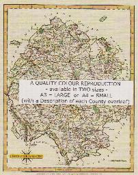
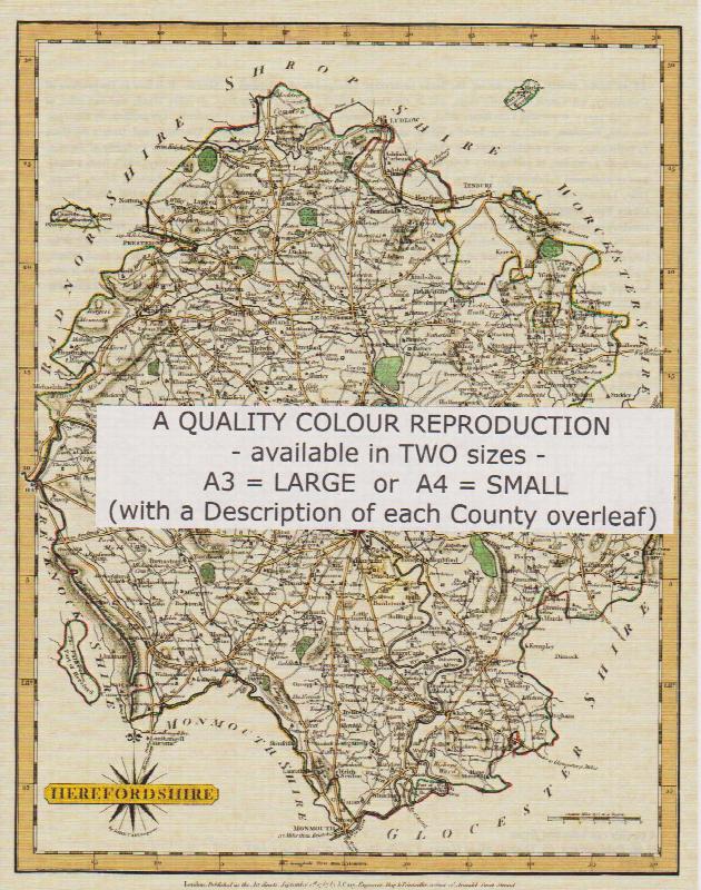
A QUALITY A3 SIZE COLOUR REPRODUCTION FROM JOHN CARY'S 1787 ATLAS WITH DETAILS OF THE COUNTY OVERLEAF. LASER PRINTER ON GOOD QUALITY CARTRIDGE PAPER. SENT FOLDED IN A PLASTIC DISPLAY SLEEVE IN A STIFF CARD ENVELOPE AT THE LARGE LETTER RATE. SCALES VARY
Herefordshire (The King's England)
Arthur Mee's classic pre-WW2 guide to the region's settlements including churches and castles and other historic places – 'The western gate of middle England' – with 223 places and 132 pictures.
Vowchurch Monumental Inscriptions
The small village of Vowchurch in Herefordshire, is the location of FMG's office. This booklet is supplied as a courtesy on behalf of the local PCC. All records have been checked and corrected and a number of previously unrecorded monuments are included, right up to the present day. All the monuments in the church and graveyard are shown, as well as those recorded in the past but no longer visible...More Info
1891 Census of Monmouthshire - Abergavenny and District
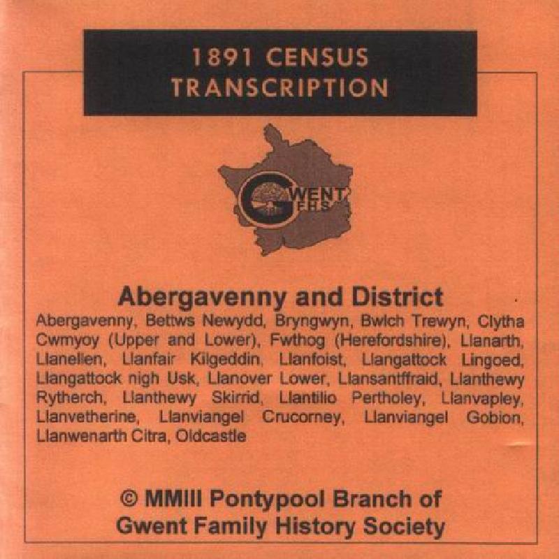
Covering Abergavenny, Bettws Newydd, Bryngwyn, Bwlch Trewyn, Clytha, Cwmyoy (Upper and Lower), Fwthog (Herefordshire), Llanarth, Llanellen, Llanfair Kilgeddin, Llanfoist, Llangattock Lingoed, Llangattock nigh Usk, Llanover Lower, Llansantffraid, Llanthewy Rytherch, Llanthewy Skirrid, Llantilio Pertholey, Llanvapley, Llanvetherine, Llanviangel Crucorney, Llanviangel Gobion, Llanwernarth Citra, Oldc...More Info