Search Results for: “London Directory”
Slater's 1850 Royal National Directory with Topographies Special Offer

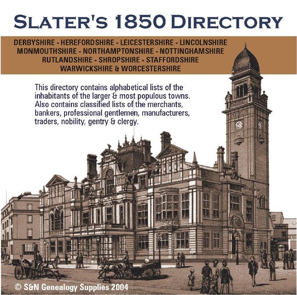
Classified lists of the merchants, bankers, professional gentlemen, manufacturers and traders in the counties of Derbyshire, Herefordshire, Leicestershire, Lincolnshire, Northamptonshire, Nottinghamshire, Rutlandshire, Shropshire, Staffordshire, Warwickshire, Worcestershire and Monmouthshire. Also covers the nobility, gentry, clergy, farmers, carriers, publicans and other trades for these counties.... More Info
Shropshire Kelly's 1917 Directory
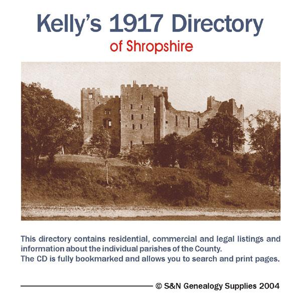
This Kelly's directory gives an effective overview of the public life of Shropshire in 1917. It lists eminent residents and local businesses, and carries historical and topographical descriptions of all towns, villages and parishes, information on local courts, churches, agriculture and landowners. These directories are invaluable to those interested in building up a picture of contemporary lives, or anyone wanting to know more about general county history. Consists of digitally enhanced images More Info
Shropshire, Cassey's Shropshire History, Gazetteer and Directory 1875
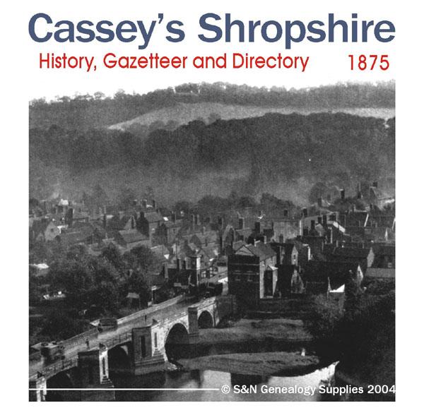
A history, gazetteer and Directory of Shropshire for 1875 containing information about local nobility, gentry and clergy; a full map of the county, and other interesting details, such as topographical features and information on courts and magistrates. All parishes are listed with detailed historical and topographical information. Consists of digitally enhanced images of the original text; searchable by whole or part name; bookmarked by major headings, and fully printable. More Info
Cheshire, Derbyshire, Nottinghamshire and Shropshire 1828-1829 Pigot's Directory

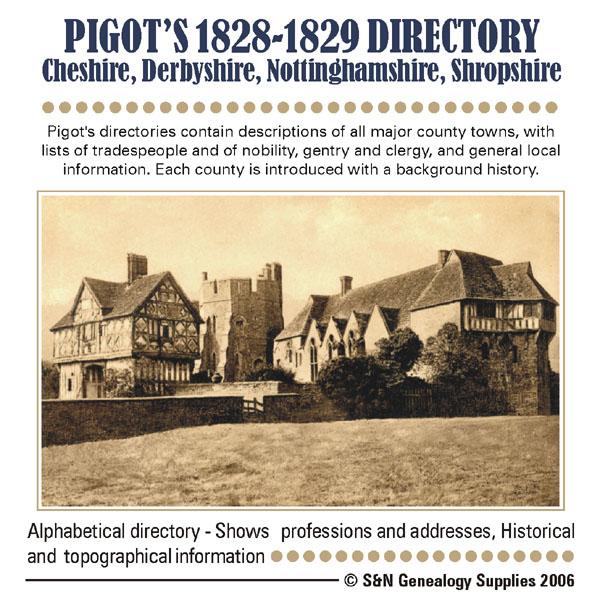
Pigot's directories contain descriptions of all major county towns, with lists of tradespeople and of nobility, gentry and clergy, and general local information. Each county is introduced with a background history. *Digitally enhanced images of the original text *Searchable *Bookmarked by major heading *Fully printable... More Info
Shropshire 1858/59 Trade Directory

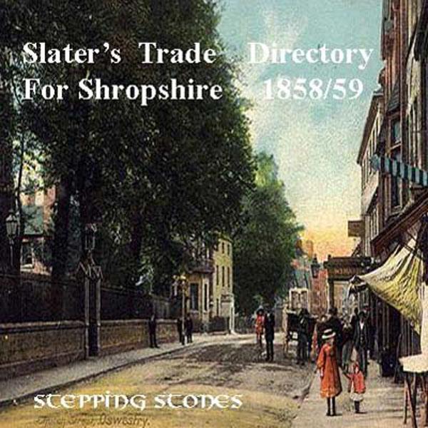
Stepping Stones CD publication. Contents of the 1858/59 Shropshire Trade Directory History of Shropshire Towns and Villages Bishops Castle Bridgnorth Broseley and Madeley Church Stetton Cleobury Mortimer Clun Drayton Ellesmere Hales Owen Ludlow Newport Oswestry Shiffnall Shrewsbury Wellington Wem Wenlock Whitechurch... More Info
Shropshire 1895 Post Office Directory
Stepping Stones CD publication. Contents of Shropshire 1895 Post Office Directory Towns and Villages covered include : Bishop's Castle, Bridgnorth (7 pages), Broseley, Church Stretton, Claverley, Cleobury Mortimer and North, Clun, Dawley, Ellesmere (6 pages), Ironbridge, Ludlow (9 pages), Madeley, Market Drayton, Moreton, Newport, Oakengates, Oswestry (13 pages), Pontesbury, Shifnal, Shrewsbury (11 pages), Stanton, Stokesay, Uffington, Wellington (7 pages), Wem, Little and Much Wenlock, More Info
Shropshire 1895 Trade Directory
Stepping Stones CD publication. Contents of Shropshire 1895 Trade Directory A. Magistrates For The County B. Trade Directory Account Book Makers-Farmers Farmers-Insurance Insurance-Yeast Importers C. Court Directory D. Shrewsbury Private Residents E. Shrewsbury Commercial Directory F. Shrewsbury Street Directory... More Info
Shropshire 1926 Kelly's Directory Special Offer
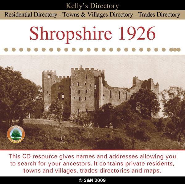
This CD resource gives names and addresses allowing you to search for your ancestors. It contains private residents, towns and villages, trades directories and maps. *Digitally enhanced images of the original text *Searchable text *Bookmarked by major headings *Fully printable Requires Adobe Acrobat Reader 8 or above.... More Info
Herefordshire and Shropshire 1934 Kelly's Directory Special Offer
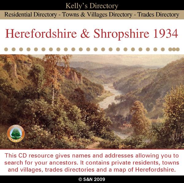
This CD resource gives names and addresses allowing you to search for your ancestors. It contains private residents, towns and villages, trades directories and a map of Herefordshire. *Digitally enhanced images of the original text *Searchable text *Bookmarked by major headings *Fully printable Requires Adobe Acrobat Reader 8 or above.... More Info
Can't find what you're looking for? Try using our filter system to narrow down your search.
Available through our sister site GenFair
CD22 The London Telephone Directory, January 1911
January 1911. Compiled at the beginning of November 1910, five months before the 1911 census, this is a directory of subscribers to two telephone companies operating in the London Area, viz. The Post Office London Telephone Service and The National Telephone Company, listing an estimated 125,000 subscribers. The area covered includes Barnet, Croydon, Esher, Harrow, Kingston, Richmond, Wimbledon an...More Info
CD23 Outer London (SURREY) Telephone Directory - January 1954
January 1954. One of a series of six new directories replacing the old London Directory. Coverage: Richmond, Kingston, Malden and Mitcham to the north, Caterham, Croydon, Upper Warlingham and Woldingham to the east, Betchworth, Dawes Green, Redhill & Reigate to the South and Byfleet, Chertsey, Chobham and Egham to the west. It does not cover Guildford, Woking nor areas to the south and west of ...More Info
CD43 General Indexes to Old Ordnance Survey Maps of London
CD 43 General Indexes to Old Ordnance Survey Maps of London (Godfrey Edition). Research in Victorian London very soon gives rise to the question "where is such-and-such a street?". It may be on a modern map, but quite often is not. The re-publication of early Ordnance Survey 1:2500 maps in the reduced scale Godfrey Edition gives the researcher a chance but, even if the street is on the sheet one h...More Info
Atlas of London circa 1908
By J & A Catlyn, published by Cyrene Publications (2003). 20 coloured maps of Central London, with searchable Index to over 7000 streets computer-linked to the maps. An Index to 1000 places of interest in London and 16 maps of the Environs of London. Included is a small eight-page booklet advising on how to make the best use of this CD.
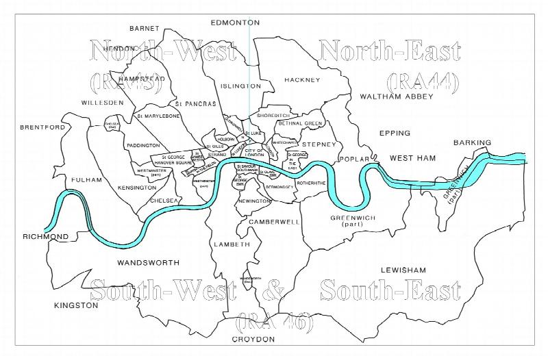
CD16 Early 20th Century London: Maps, Street Names and Schools
Compiled and indexed by Chris Willis, edited by Sue Turner, Nov 2009. This CD contains the six Board School Maps of London, produced in 1906/7 by the London Schools Authorities. They were based on the 6" Ordnance Survey stock of the time and over printed with boundaries of the areas used in controlling the schools and also with the actual schools. To provide an index into the maps, a Street index ...More Info
Filter
Category
County
-
Dorset (0)
Durham (0)
England (0)
Essex (0)
Gloucestershire (0)
Hampshire (0)
Herefordshire (2)
Hertfordshire (0)
Huntingdonshire (0)
Ireland (0)
Isle of Wight (0)
Kent (0)
Lancashire (0)
Leicestershire (1)
Lincolnshire (1)
London (0)
Middlesex (0)
Monmouthshire (1)
Non-UK (0)
Norfolk (0)
Northamptonshire (1)
Northumberland (0)
Nottinghamshire (2)
Oxfordshire (0)
Rutland (1)
Scotland (0)
Shropshire (9)
Somerset (0)
Staffordshire (1)
Suffolk (0)
Surrey (0)
Sussex (0)
Wales (0)
Warwickshire (1)
Westmorland (0)
Wiltshire (0)
Worcestershire (1)
Yorkshire (0)