Search Results for: “London Directory”
Surrey 1823 Pigot's Directory


This virtual book CD resource contains the 1823 Pigot's Directory for Surrey. It carries local listings of major professions, of nobility, gentry, and clergy, of transport and freight services; and information on the education, public services, and public houses of the area. Towns, villages and parishes are listed with historical and topographical information. A comprehensive directory, this CD gives you valuable insight into county history and enables you to discover what governed the lives of More Info
Kent, Surrey & Sussex Pigot's 1839 Directory Special Offer

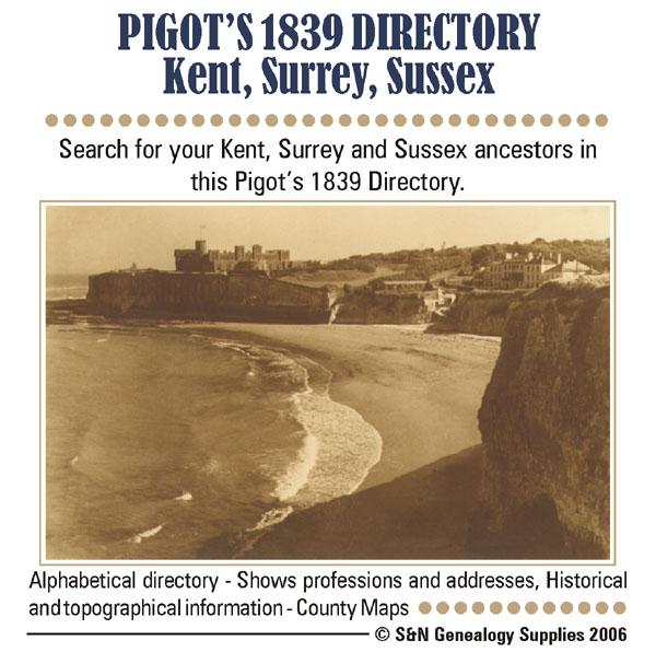
This Directory contains classified lists of all persons in trade, and of the nobility, gentry and clergy resident in Kent, Surrey and Sussex. * Digitally enhanced images of the original text * Searchable * Bookmarked by major headings * Fully printable * Includes county maps... More Info
Surrey, Epsom College Register 1855-1924 Special Offer

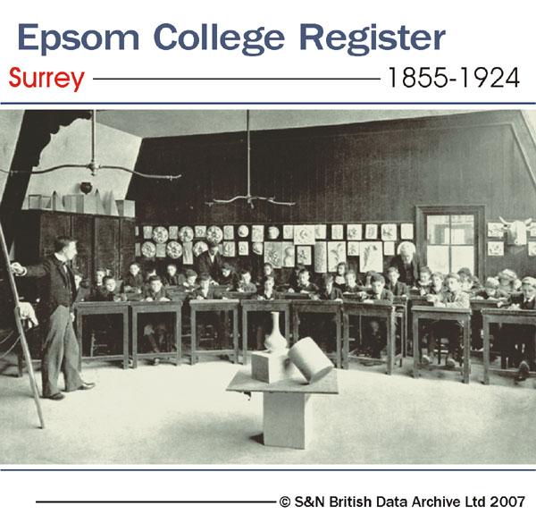
Entrance lists for boys in Epsom School from 1855 to 1924. Gives name, date of birth, entrance and leaving dates, and career information (where available). This directory also includes lists of head and assistant masters, head prefects, cricket and football teams, heads of corps, and a brief history of the college. * Digitally enhanced images of the original text * Searchable text * Bookmarked by major headings * Fully printable... More Info
Surrey 1828-29 Trade Directory

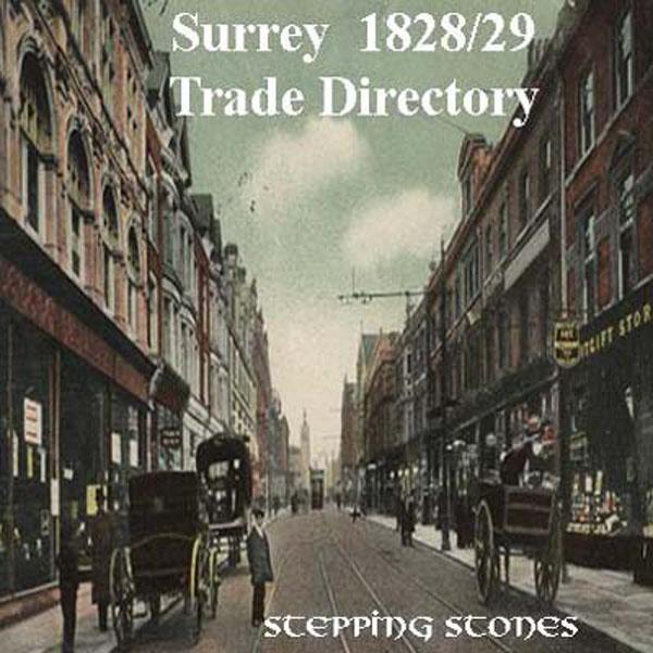
Stepping Stones CD publication. Contents of Surrey 1828-29 Bagshot, Banstead and Chipstead, Blechingley and Nutfield, Chertsey-Dorking, Egham-Epsom, Esher, Ewell-Farnham, Godalming and Witley, Godstone and Tandridge, Guildford, Haslemere-Leatherhead and Great Bookham, Oxted and Limpsfield, Reigate, and Ripley... More Info
Surrey 1840 Trade Directory

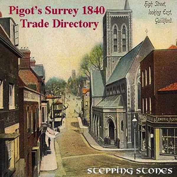
Stepping Stones CD publication. Contents of the 1840 Surrey Trade Directory Bagshot Windlesham Banstead and Chipstead Battersea Blechingley Nutfield Brixton Tulse Hill Capel Cershalton Wallington Sutton Cheam Chertsey Chobham Clapham Cobham Croydon Dorking Dulwich Egham Epsom Ewell Esher Walton on Thames Farnham Godalming Godstone Limpsfield Oxted Tandridge Guildford Haslemere Kingston Leatherhead Great Bokkham Ashstead Mitcham Merton Morden Wimbledon Mo More Info
Kent, Surrey & Sussex Kelly's 1938 Directory

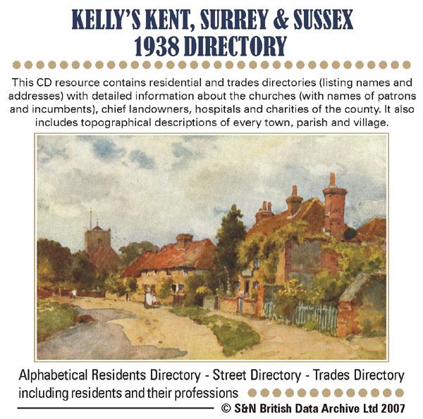
This CD resource contains residential and trades directories (listing names and addresses) with detailed information about the churches (with names of patrons and incumbents), chief landowners, hospitals and charities of the county. It also includes topographical descriptions of every town, parish and village. *Digitally enhanced images of the original text *Searchable text *Bookmarked by major headings *Fully printable *Contains over 3000 pages... More Info
Surrey, Sutton & District 1899 Pile's Directory Special Offer
This CD resource gives names and addresses allowing you to search for your ancestors. It contains residential street and alphabetical directories for the urban district of Sutton. It also contains lists of principal residents for: Bandon Hill, Beddington, Beddington Corner, Banstead, Burgh Heath, Carshalton, Cheam, Ewell, Hackbridge, Kingswood, North Cheam, South Beddington, Wallington, Tadworth, Walton-on-the-Hill, Woodmansterne, Morden, and Worcester Park. *Digitally enhanced images of th... More Info
Can't find what you're looking for? Try using our filter system to narrow down your search.
Available through our sister site GenFair
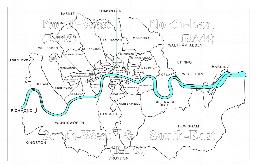
CD22 The London Telephone Directory, January 1911
January 1911. Compiled at the beginning of November 1910, five months before the 1911 census, this is a directory of subscribers to two telephone companies operating in the London Area, viz. The Post Office London Telephone Service and The National Telephone Company, listing an estimated 125,000 subscribers. The area covered includes Barnet, Croydon, Esher, Harrow, Kingston, Richmond, Wimbledon an...More Info
CD23 Outer London (SURREY) Telephone Directory - January 1954
January 1954. One of a series of six new directories replacing the old London Directory. Coverage: Richmond, Kingston, Malden and Mitcham to the north, Caterham, Croydon, Upper Warlingham and Woldingham to the east, Betchworth, Dawes Green, Redhill & Reigate to the South and Byfleet, Chertsey, Chobham and Egham to the west. It does not cover Guildford, Woking nor areas to the south and west of ...More Info
CD43 General Indexes to Old Ordnance Survey Maps of London
CD 43 General Indexes to Old Ordnance Survey Maps of London (Godfrey Edition). Research in Victorian London very soon gives rise to the question "where is such-and-such a street?". It may be on a modern map, but quite often is not. The re-publication of early Ordnance Survey 1:2500 maps in the reduced scale Godfrey Edition gives the researcher a chance but, even if the street is on the sheet one h...More Info
Atlas of London circa 1908
By J & A Catlyn, published by Cyrene Publications (2003). 20 coloured maps of Central London, with searchable Index to over 7000 streets computer-linked to the maps. An Index to 1000 places of interest in London and 16 maps of the Environs of London. Included is a small eight-page booklet advising on how to make the best use of this CD.
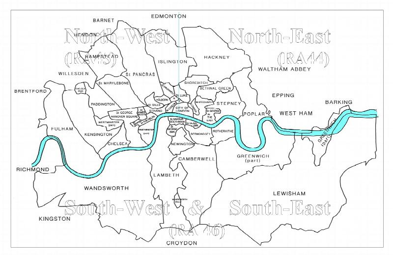
CD16 Early 20th Century London: Maps, Street Names and Schools
Compiled and indexed by Chris Willis, edited by Sue Turner, Nov 2009. This CD contains the six Board School Maps of London, produced in 1906/7 by the London Schools Authorities. They were based on the 6" Ordnance Survey stock of the time and over printed with boundaries of the areas used in controlling the schools and also with the actual schools. To provide an index into the maps, a Street index ...More Info
Filter
Category
County
-
Dorset (0)
Durham (0)
England (0)
Essex (0)
Gloucestershire (0)
Hampshire (0)
Herefordshire (0)
Hertfordshire (0)
Huntingdonshire (0)
Ireland (0)
Isle of Wight (0)
Kent (2)
Lancashire (0)
Leicestershire (0)
Lincolnshire (0)
London (0)
Middlesex (0)
Monmouthshire (0)
Non-UK (0)
Norfolk (0)
Northamptonshire (0)
Northumberland (0)
Nottinghamshire (0)
Oxfordshire (0)
Rutland (0)
Scotland (0)
Shropshire (0)
Somerset (0)
Staffordshire (0)
Suffolk (0)
Surrey (7)
Sussex (2)
Wales (0)
Warwickshire (0)
Westmorland (0)
Wiltshire (0)
Worcestershire (0)
Yorkshire (0)