Search Results for: “Gazetteer”
1898 Royal Atlas of England and Wales (edited by J.G. Bartholomew)
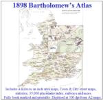
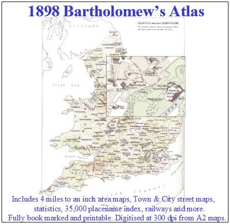
A complete series of topographical maps, physical and statistical charts, town plans, and index of 35,000 names (England and Wales - includes City street maps showing locations no longer in existence through development and bombing in World War II).... More Info
Bacon's Atlas of the British Isles 1881
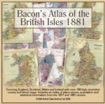
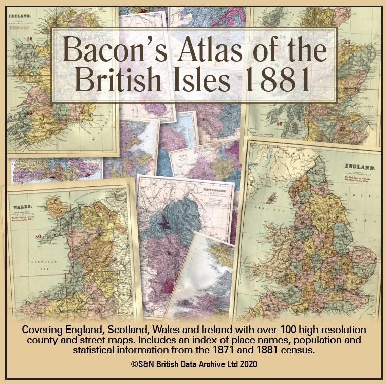
This virtual DVD resource covers England, Scotland, Wales and Ireland with over 100 high-resolution county and street maps. Includes an index of place names, population and statistical information from the 1871 and 1881 census.... More Info
Product Code: GRD6768
Can't find what you're looking for? Try using our filter system to narrow down your search.
Available through our sister site GenFair
BAINES' HISTORY, GAZETTEER & DIRECTORY OF THE WEST RIDING OF YORKSHIRE 1823 Edward Baines’ HISTORY, GAZETTEER & DIRECTORY OF YORKSHIRE, in two volumes.
This is Volume One, The West Riding of Yorkshire, containing a wealth of information about each and every place in the West Riding, with alphabetical lists of the residents and tradespeople there
BAINES' HISTORY, GAZETTEER & DIRECTORY OF THE EAST & NORTH RIDINGS OF YORKSHIRE 1823 Edward Baines’ HISTORY, GAZETTEER & DIRECTORY OF YORKSHIRE, in two volumes.
This is Volume Two, The East and North Ridings of Yorkshire, containing a wealth of information about each and every place in both East and North Ridings, with alphabetical lists of the residents and tradespeople there
19TH Century Gazetteer of the North Riding of Yorkshire by John P Perkins
19TH Century Gazetteer of the North Riding of Yorkshire by John P Perkins Place Names of the North Riding of Yorkshire
Buckinghamshire Gazetteer 1868
Contemporary account of towns and villages, hamlets, population, trades etc Maps of the Hundreds [from George Lipscomb book.
RA08 Genealogical Gazetteer of Mid-Victorian London
A companion volume to the *Genealogical Research in Late Victorian London* (ref. WSY-RA6), listing streets, and indicating which Victorian parish they were located in. This makes it possible to search in parish registers in a more structured manner, if a street address is known. Revised edition (2005). 46 pages.