Search Results for: “Gazetteer”
Yorkshire, Barnsley & Doncaster Area c.1920 Map CD (28 maps)
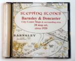
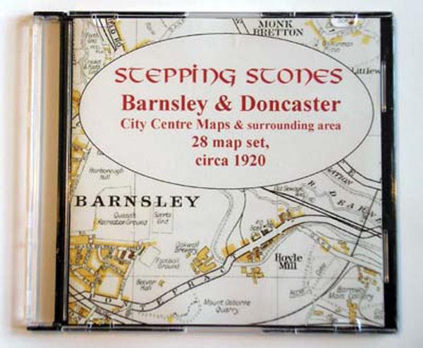
Stepping Stones publication Barnsley and Doncaster Area c.1920 Map CD (28 maps)... More Info
Yorkshire, Bradford Area c.1920 Map CD (21 maps)
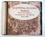
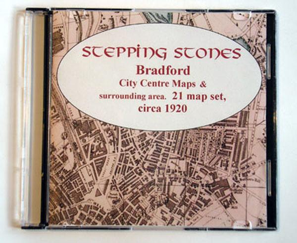
Stepping Stones publication Bradford Area c.1920 Map CD (21 maps)... More Info
Yorkshire, Bradford c.1890-95 Map CD (2 maps)
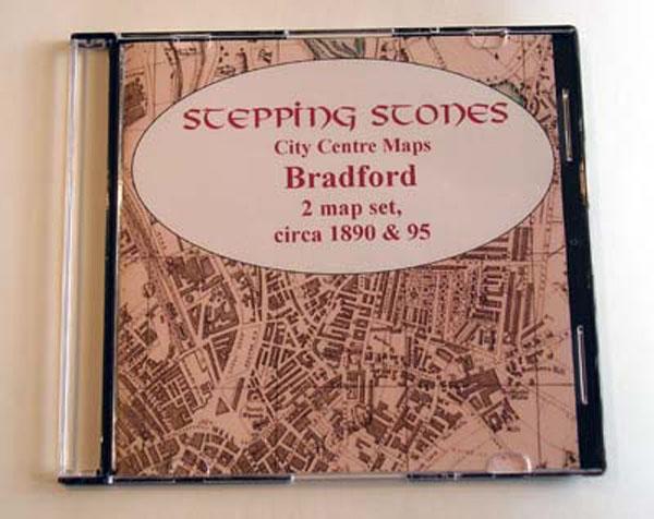
Stepping Stones publication Bradford Map CD (2 maps, c.1890-95)... More Info
Yorkshire, Halifax Area c.1920 Map CD (21 maps)
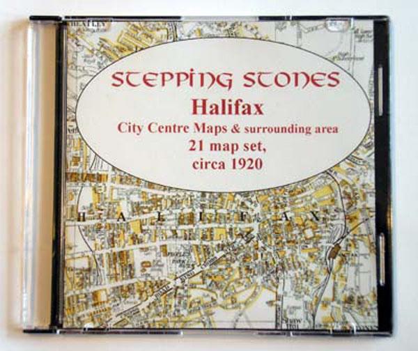
Stepping Stones publication Halifax Area c.1920 Map CD (21 maps)... More Info
Yorkshire, Huddersfield Area c.1920 Map CD (24 maps)
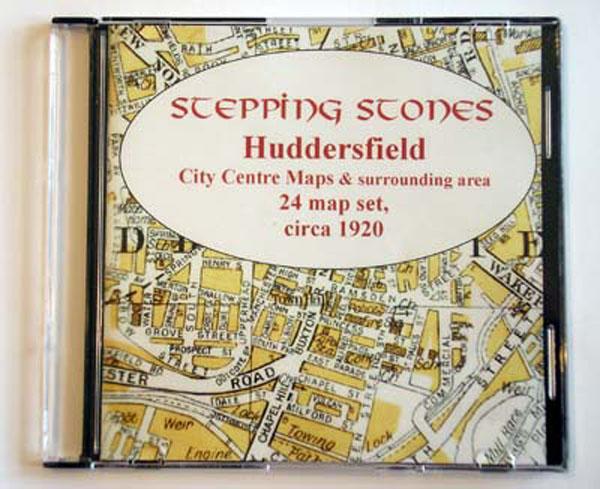
Stepping Stones publication Huddersfield Area c.1920 Map CD (24 maps)... More Info
Yorkshire, Hull Map CD (2 maps, c.1890-95)
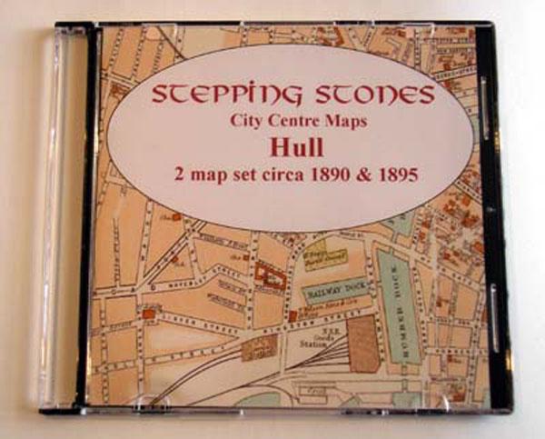
Stepping Stones publication Hull Map CD (2 maps, c.1890-95)... More Info
Leeds Area c.1920 Map CD (21 maps)


Stepping Stones publication Leeds Area c.1920 Map CD (21 maps)... More Info
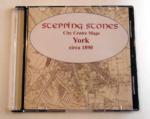
Yorkshire, Leeds Map CD (2 maps, c.1890-95)
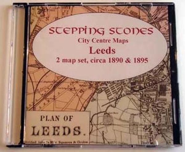
Stepping Stones publication Leeds Map CD (2 maps, c.1890-95)... More Info
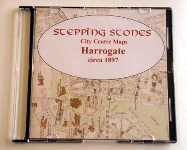
Skipton & Harrogate Area c.1920 Map CD (30 maps)
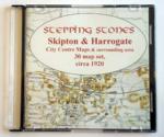

Stepping Stones publication Skipton and Harrogate Area c.1920 Map CD (30 maps)... More Info
Yorkshire, Wakefield Area c.1920 Map CD (24 maps)
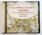
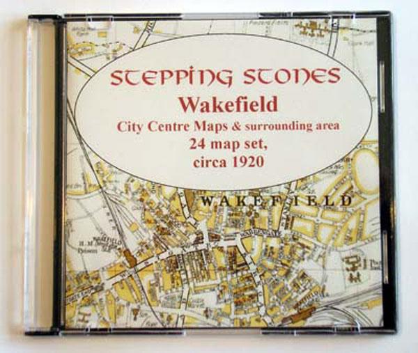
Stepping Stones publication Wakefield Area c.1920 Map CD (24 maps)... More Info
Can't find what you're looking for? Try using our filter system to narrow down your search.
Available through our sister site GenFair
BAINES' HISTORY, GAZETTEER & DIRECTORY OF THE WEST RIDING OF YORKSHIRE 1823 Edward Baines’ HISTORY, GAZETTEER & DIRECTORY OF YORKSHIRE, in two volumes.
This is Volume One, The West Riding of Yorkshire, containing a wealth of information about each and every place in the West Riding, with alphabetical lists of the residents and tradespeople there
BAINES' HISTORY, GAZETTEER & DIRECTORY OF THE EAST & NORTH RIDINGS OF YORKSHIRE 1823 Edward Baines’ HISTORY, GAZETTEER & DIRECTORY OF YORKSHIRE, in two volumes.
This is Volume Two, The East and North Ridings of Yorkshire, containing a wealth of information about each and every place in both East and North Ridings, with alphabetical lists of the residents and tradespeople there
19TH Century Gazetteer of the North Riding of Yorkshire by John P Perkins
19TH Century Gazetteer of the North Riding of Yorkshire by John P Perkins Place Names of the North Riding of Yorkshire
Buckinghamshire Gazetteer 1868
Contemporary account of towns and villages, hamlets, population, trades etc Maps of the Hundreds [from George Lipscomb book.
RA08 Genealogical Gazetteer of Mid-Victorian London
A companion volume to the *Genealogical Research in Late Victorian London* (ref. WSY-RA6), listing streets, and indicating which Victorian parish they were located in. This makes it possible to search in parish registers in a more structured manner, if a street address is known. Revised edition (2005). 46 pages.