Search Results for: “London Directory”
Slater's 1850 Royal National Directory with Topographies Special Offer

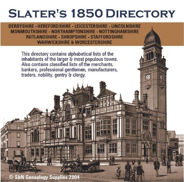
Classified lists of the merchants, bankers, professional gentlemen, manufacturers and traders in the counties of Derbyshire, Herefordshire, Leicestershire, Lincolnshire, Northamptonshire, Nottinghamshire, Rutlandshire, Shropshire, Staffordshire, Warwickshire, Worcestershire and Monmouthshire. Also covers the nobility, gentry, clergy, farmers, carriers, publicans and other trades for these counties.... More Info
Derbyshire, Nottinghamshire, Leicestershire and Rutland 1912 Kelly's Directory Special Offer
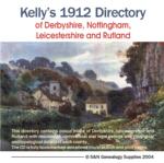

A virtual book CD-ROM for easy browsing, this Kelly's directory gives an effective overview of the public life of Derbyshire,Nottinghamshire, Leicestershire and Rutland in 1912. It lists eminent residents and local businesses, and carries historical and topographical descriptions of all towns, villages and parishes, information on local courts, churches, agriculture and landowners. This bundle of directories is invaluable to those interested in building up a picture of contemporary lives, and an More Info
Derbyshire, Nottinghamshire, Leicestershire & Rutland Kelly's 1925 Directory
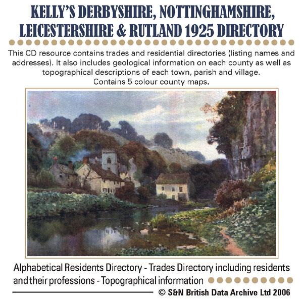
This CD resource contains trades and residential directories (listing names and addresses) with detailed information on the county councils, principal seats and magistrates. It also includes geological information on each county as well as topographical descriptions of each town, parish and village. Contains 5 colour county maps. * Digitally enhanced images of the original text * Searchable text * Bookmarked by major headings * Fully printable * Includes county maps... More Info
Derbyshire 1846 History, Gazetteer & Directory
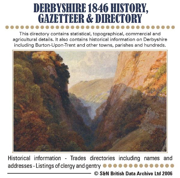
This directory contains statistical, topographical, commercial and agricultural details. It also contains historical information on Derbyshire including Burton-upon-Trent and other towns, parishes and hundreds. * Digitally enhanced images of the original text * Searchable text * Bookmarked by major headings * Fully printable... More Info
Derbyshire White's 1857 Directory Special Offer

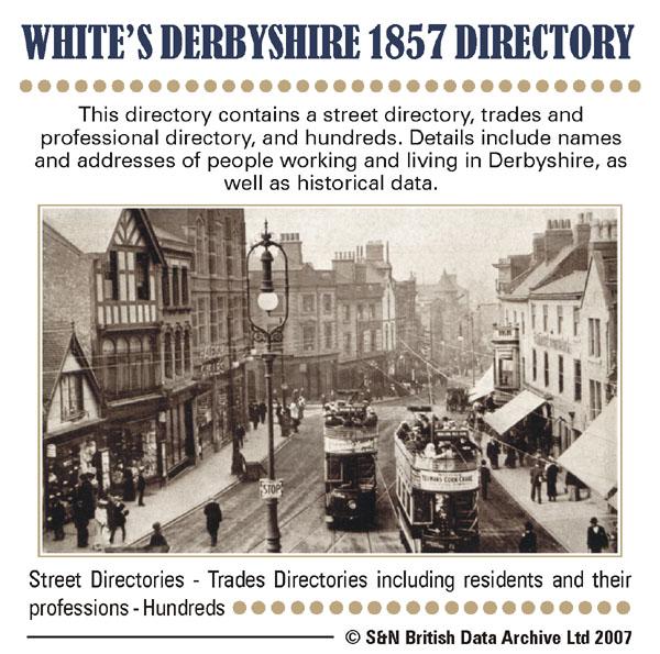
This directory contains a street directory, trades and professional directory, and hundreds. Details include names and addresses of people working and living in Derbyshire, as well as historical data. * Digitally enhanced images of the original text * Searchable text * Bookmarked by major headings * Fully printable... More Info
Cheshire, Derbyshire, Nottinghamshire and Shropshire 1828-1829 Pigot's Directory

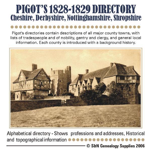
Pigot's directories contain descriptions of all major county towns, with lists of tradespeople and of nobility, gentry and clergy, and general local information. Each county is introduced with a background history. *Digitally enhanced images of the original text *Searchable *Bookmarked by major heading *Fully printable... More Info
Derbyshire 1842 Trade Directory

Stepping Stones CD publication. Contents of the 1842 Derbyshire Trade Directory Covering the following Towns and Villages: Alfreton Ashbourn Clifton Mappleton Ashover Bakewell Youlgrave Edensor with Chatsworth Baslow Belper Bolsover Brailsford Langley Shirley Longford Butterley Codnor Park Ripley Denby Heage Buxton Castleton Hope and Hathersage Chapel en le Firth Chesterfield Church Gresley Swadlincote Crich South Wingfield Darley Dale Derby Doveridge Somers More Info
Derbyshire 1895 Post Office Directory

Stepping Stones CD publication. Contents of Derbyshire Post Office Directory History of Derbyshire Local and Magistrates Directory Post Office Directory With Street and Trade Directory of Derby Court Directory Printable Index of the Court Directory Printable Index of the Post Office Directory Adobe Reader 5 More Info
Derbyshire 1895 Trade Directory
Stepping Stones CD publication. Contents of Derbyshire Post Office Directory History of Derbyshire Local and Magistrates Directory Post Office Directory With Street and Trade Directory of Derby Court Directory Printable Index of the Court Directory Printable Index of the Post Office Directory Adobe Reader 5 More Info
Derbyshire, Nottinghamshire, Leicestershire & Rutland Kelly's 1941 Directory Special Offer
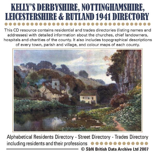
This CD resource contains residential and trades directories (listing names and addresses) with detailed information about the churches, chief landowners, hospitals and charities of the county. It also includes topographical descriptions of every town, parish and village, and colour maps of each county. *Digitally enhanced images of the original text *Searchable text *Bookmarked by major headings *Fully printable *Includes colour maps *Contains over 3200 pages... More Info
Derbyshire, Nottinghamshire, Leicestershire and Rutland 1895 Kelly's Directory Special Offer

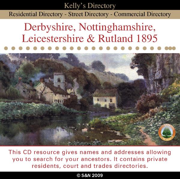
This CD resource gives names and addresses allowing you to search for your ancestors. It contains private residents, court and trades directories. *Digitally enhanced images of the original text *Searchable text *Bookmarked by major headings *Fully printable... More Info
Can't find what you're looking for? Try using our filter system to narrow down your search.
Available through our sister site GenFair
CD22 The London Telephone Directory, January 1911
January 1911. Compiled at the beginning of November 1910, five months before the 1911 census, this is a directory of subscribers to two telephone companies operating in the London Area, viz. The Post Office London Telephone Service and The National Telephone Company, listing an estimated 125,000 subscribers. The area covered includes Barnet, Croydon, Esher, Harrow, Kingston, Richmond, Wimbledon an...More Info
CD23 Outer London (SURREY) Telephone Directory - January 1954
January 1954. One of a series of six new directories replacing the old London Directory. Coverage: Richmond, Kingston, Malden and Mitcham to the north, Caterham, Croydon, Upper Warlingham and Woldingham to the east, Betchworth, Dawes Green, Redhill & Reigate to the South and Byfleet, Chertsey, Chobham and Egham to the west. It does not cover Guildford, Woking nor areas to the south and west of ...More Info
CD43 General Indexes to Old Ordnance Survey Maps of London
CD 43 General Indexes to Old Ordnance Survey Maps of London (Godfrey Edition). Research in Victorian London very soon gives rise to the question "where is such-and-such a street?". It may be on a modern map, but quite often is not. The re-publication of early Ordnance Survey 1:2500 maps in the reduced scale Godfrey Edition gives the researcher a chance but, even if the street is on the sheet one h...More Info
Atlas of London circa 1908
By J & A Catlyn, published by Cyrene Publications (2003). 20 coloured maps of Central London, with searchable Index to over 7000 streets computer-linked to the maps. An Index to 1000 places of interest in London and 16 maps of the Environs of London. Included is a small eight-page booklet advising on how to make the best use of this CD.
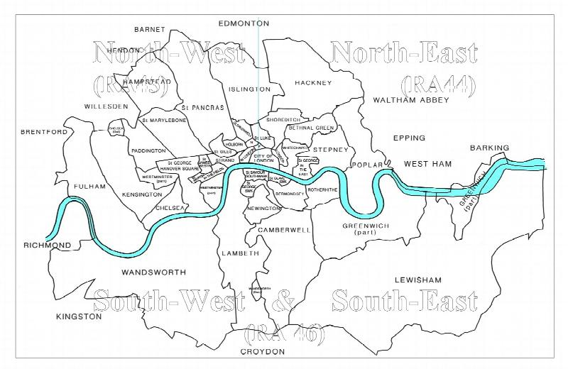
CD16 Early 20th Century London: Maps, Street Names and Schools
Compiled and indexed by Chris Willis, edited by Sue Turner, Nov 2009. This CD contains the six Board School Maps of London, produced in 1906/7 by the London Schools Authorities. They were based on the 6" Ordnance Survey stock of the time and over printed with boundaries of the areas used in controlling the schools and also with the actual schools. To provide an index into the maps, a Street index ...More Info
Filter
Category
County
-
Dorset (0)
Durham (0)
England (0)
Essex (0)
Gloucestershire (0)
Hampshire (0)
Herefordshire (1)
Hertfordshire (0)
Huntingdonshire (0)
Ireland (0)
Isle of Wight (0)
Kent (0)
Lancashire (0)
Leicestershire (5)
Lincolnshire (1)
London (0)
Middlesex (0)
Monmouthshire (1)
Non-UK (0)
Norfolk (0)
Northamptonshire (1)
Northumberland (0)
Nottinghamshire (6)
Oxfordshire (0)
Rutland (5)
Scotland (0)
Shropshire (2)
Somerset (0)
Staffordshire (1)
Suffolk (0)
Surrey (0)
Sussex (0)
Wales (0)
Warwickshire (1)
Westmorland (0)
Wiltshire (0)
Worcestershire (1)
Yorkshire (0)