Search Results for: “London Register”
Cornwall - The Registers of Falmouth, Part 1 Marriages and Baptisms 1663-1812
Covers all Marriages and Baptisms recorded between 1663 and 1812 in the parish of Falmouth, Cornwall. Provided as a digitised searchable transcript in Acrobat format.... More Info
Product Code: PRS1748
Cornwall - The Registers of Falmouth, Part 2 Burials 1663-1812
Covers the parish of Falmouth in Cornwall, recording all Burials between 1663-1812. Searchable product.... More Info
Product Code: PRS1749
Cornwall, Scilly Isles Baptisms - St. Marys 1726 - 1843 Free UK P&P
These transcriptions are taken from the actual parish records, Bodmin Transcripts and Exeter Transcripts available at the County Records Office, Truro, Cornwall. Also includes part of Tresco Register.... More Info
Product Code: C/F5528
Cornwall, Landrake & St. Erney Baptisms 1650 - 1840 Free UK P&P
Landrake Baptisms 1650 - 1840; St. Erney Baptisms 1665 - 1840. Please note that from 1813, Landrake and St. Erney baptisms were entered in the same register. These transcriptions are taken from the actual parish records, Bodmin Transcripts and Exeter Transcripts available at the County Records Office, Truro, Cornwall.... More Info
Product Code: C/F5534
Can't find what you're looking for? Try using our filter system to narrow down your search.
Available through our sister site GenFair
Lists of Papists for the London area
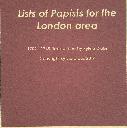
**Contents**- City of London Ma 1709 1710 LMA CLA 047 LR 02 04 050 - City of London Mar 1712 to 13 LMA CLA 047 LR 02 04 054 - City of London Mar 1714 to 1715 LMA CLA 047 LR 02 04 055 - City of London 1743 LMA MISC MSS 63 17 - City of London 1745 LMA MISC MSS 63 18 - City of London Jul 1715 LMA CLA 047 LR 02 04 056 - City of London Ma Ap 1711 LMA CLA 047 LR 02 04 051 - Clerkenwell 14 Apr 1711 LM...More Info
CD 43 General Indexes to Old Ordnance Survey Maps of London
CD 43 General Indexes to Old Ordnance Survey Maps of London (Godfrey Edition). Research in Victorian London very soon gives rise to the question "where is such-and-such a street?". It may be on a modern map, but quite often is not. The re-publication of early Ordnance Survey 1:2500 maps in the reduced scale Godfrey Edition gives the researcher a chance but, even if the street is on the sheet one h...More Info
Atlas of London circa 1908
By J & A Catlyn, published by Cyrene Publications (2003). 20 coloured maps of Central London, with searchable Index to over 7000 streets computer-linked to the maps. An Index to 1000 places of interest in London and 16 maps of the Environs of London. Included is a small eight-page booklet advising on how to make the best use of this CD.
CD 16 EARLY 20th CENTURY LONDON: MAPS, STREET NAMES and SCHOOLS. Nov 2009.
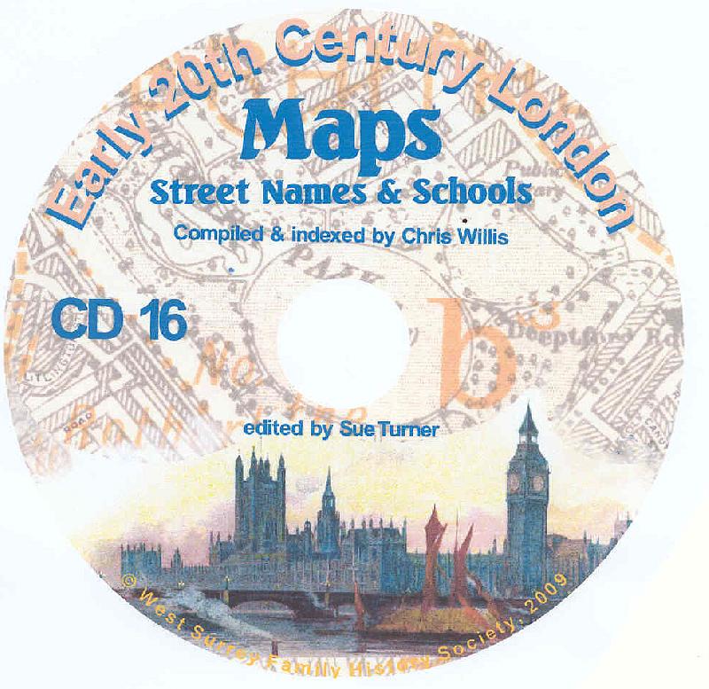
Compiled and indexed by Chris Willis, edited by Sue Turner, 2009. This CD contains the six Board School Maps of London, produced in 1906/7 by the London Schools Authorities. They were based on the 6" Ordnance Survey stock of the time and over printed with boundaries of the areas used in controlling the schools and also with the actual schools. To provide an index into the maps, a Street index (pub...More Info
The End of the Line - the story of the railway service to the Great Northern London Cemetery
King's Cross station was linked to the Great Northern Cemetery by a special train service which took funeral parties from central London to the outskirts where burial space was more readily available. This was a short lived service unlike that in south London. Many of London's institutions made use of the service and records of burials are available from the New Southgate Cemetery.
Filter
Category
County
-
Essex (0)
Gloucestershire (0)
Hampshire (0)
Herefordshire (0)
Hertfordshire (0)
Huntingdonshire (0)
Ireland (0)
Kent (0)
Lancashire (0)
Lincolnshire (0)
London (0)
Middlesex (0)
Monmouthshire (0)
Norfolk (0)
Northumberland (0)
Nottinghamshire (0)
Oxfordshire (0)
Scotland (0)
Shropshire (0)
Somerset (0)
Staffordshire (0)
Suffolk (0)
Surrey (0)
Sussex (0)
Wales (0)
Warwickshire (0)
Westmorland (0)
Wiltshire (0)
Worcestershire (0)
Yorkshire (0)