1898 Royal Atlas of England and Wales (edited by J.G. Bartholomew)
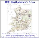
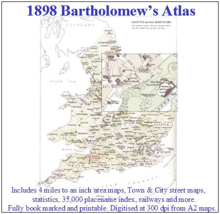
A complete series of topographical maps, physical and statistical charts, town plans, and index of 35,000 names (England and Wales - includes City street maps showing locations no longer in existence through development and bombing in World War II).... More Info
Channel Islands, The Homeland Handbooks - Part 1 Guernsey, Sark, Alderney & Herm - Ordnance Map for 1933 (approx) Special Offer Free UK P&P
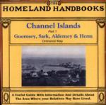
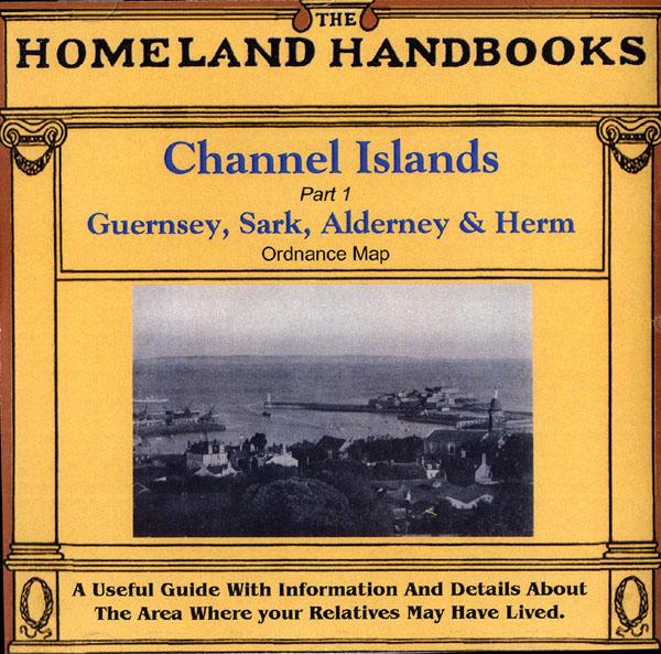
This guide provides invaluable background information on Channel Islands Part 1 Guernsey, Sark, Alderney and Herm in the 1900's. This official council guide has maps, photographs and illustrations. It covers the history, traditions, worthies, antiquities and literary associations. This CD is a useful guide with information and details about the area where your relatives may have lived. *Digitally enchanced images of the original text *Includes maps, photographs and illustrations *Searchab... More Info
Bartholomew's Handy Reference Atlas of London & Suburbs 1930 on CD
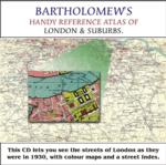
Bartholomew's Handy Reference Atlas of London and Suburbs Walk the streets of London as they were in 1930. *Digitally enchanced images of the original text *Includes full colour maps *Searchable by whole or part name *Bookmarked by major headings *Fully printable... More Info
Cassell's Gazetteer of Great Britain and Ireland for the year 1893 Special Offer
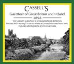
This set contains listings for all counties, cities, towns, villages (with population) and has detailed information on history, geography, architecture, agriculture or industry. Cassell's Gazetteer is a topographical dictionary invaluable in finding locations where your relatives may have lived. It includes photographs and colour maps for reference. *Digitally enhanced images of the original text *Includes photographs and maps *Bookmarked alphabetically *Fully printable... More Info
Cornwall, The Homeland Handbooks - Looe, Fowey and Polperro with their surroundings (Approx. 1915) Special Offer
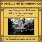
This guide provides invaluable background information on Looe, Fowey and Polperro with their surroundings in the 1900's. This official council guide has maps, photographs and illustrations. It covers the history, traditions, worthies, antiquities and literary associations. This is a useful guide with information and details about the area where your relatives may have lived. *Digitally enhanced images of the original text *Includes maps, photographs and illustrations *Bookmarked by major head... More Info
Cambridgeshire, The Homeland Handbooks - Huntingdon and The Great Ouse with St. Neots and St. Ives (1905 Ordnance Map)
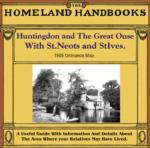
This guide provides invaluable background information on Huntingdon and The Great Ouse with St. Neots and St. Ives in the 1900's. This official council guide has maps, photographs and illustrations. It covers the history, traditions, worthies, antiquities and literary associations. This is a useful guide with information and details about the area where your relatives may have lived. *Digitally enhanced images of the original text *Includes maps, photographs and illustrations *Bookmarked by m... More Info
Cornwall, The Homeland Handbooks - Newquay , the Vale of Lanherne & Perranzabuloe circa 1930 Special Offer
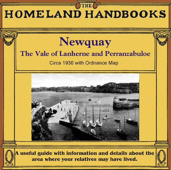
This guide provides invaluable background information on Newquay , the Vale of Lanherne and Perranzabuloe in the 1900's. This official council guide has maps, photographs and illustrations. It covers the history, traditions, worthies, antiquities and literary associations. * Digitally enhanced images of the original text * Includes maps, photographs and illustrations * Searchable by whole or part name * Bookmarked by major headings * Fully printable... More Info
A Map of XVII Century England Special Offer
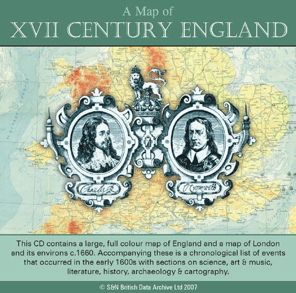
This CD contains a large, full colour map of England and a map of London and its environs c.1660. Accompanying these is a chronological list of events that occurred in the early 1600s with sections on science, art and music, literature, history, archaeology and cartography. *Digitally enhanced images of the original text *Searchable text *Bookmarked by major headings *Fully printable *Includes large full colour map *Contains over 25 pages... More Info
Product Code: SS5082
Derbyshire, Buxton c.1890 Map CD Special Offer
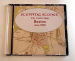
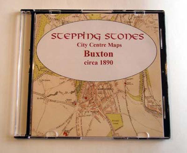
Stepping Stones publication Buxton c.1890 Map CD... More Info
Cambridge c.1890 Map CD Special Offer
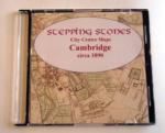
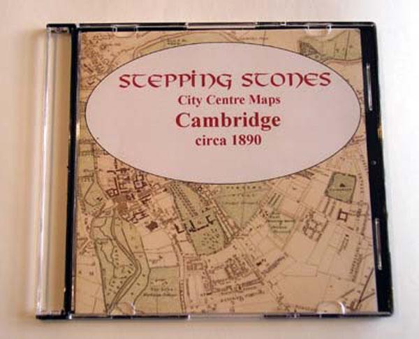
Stepping Stones publication Cambridge c.1890 Map CD... More Info
Carnarvon & North Wales 1920/1 Ward & Lock's Illustrated Guide
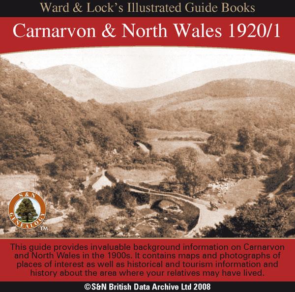
This CD contains a guide that provides invaluable background information on Carnarvon,Bangor, Anglesey, Penmaenmawr and Llanfairfechan, Conway, Bettws-y-Coed, Llandudno, Colwyn Bay, and Rhyl in the 1900s. It contains maps and photographs of places of interest as well as historical and tourism information and history about the area where your relatives may have lived. *Digitally enhanced images of the original text *Searchable text *Bookmarked by major headings *Fully printable... More Info
10 Miles Round London in 1746 - Map CD
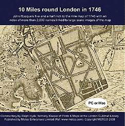
John Rocque's five and a half inch to the mile map of 1746 with an index of more than 2,800 street and place names linked to large scale images of the map. PC and Mac compatible.... More Info
Product Code: MSC5632
Bacon's Atlas of the British Isles 1881
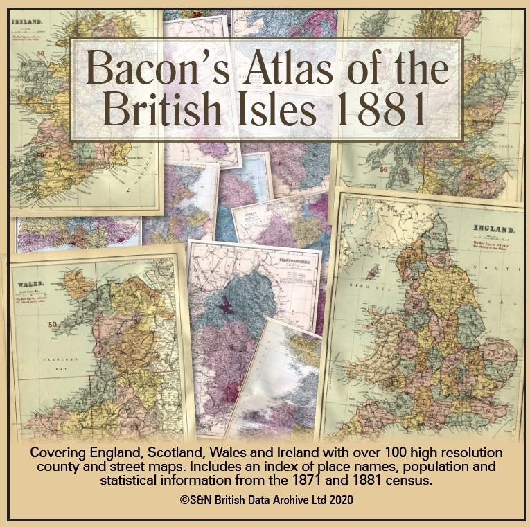
This virtual DVD resource covers England, Scotland, Wales and Ireland with over 100 high-resolution county and street maps. Includes an index of place names, population and statistical information from the 1871 and 1881 census.... More Info
Product Code: GRD6768
Can't find what you're looking for? Try using our filter system to narrow down your search.